Montserrat
Navinfo
Breite
16° 39’ 44.5” NLänge
62° 47’ 39.7” WInformation
Note1:
Volcanic ash flows have changed depths in the marked areas since 1997. Due to continued volcanic activity stay out of indicated zones.
Note2: Exclusion Zone (evacuated)
No admittence except only for scientific monitoring and National Security matters.
Volcano alerts are given daily on Radio Montserrat (885 AM / 94 FM) 08.00 / 12.00 / 16.00 / 18.00 or call any station on VHF and ask for the alert level. Stay 10 NM of the south side of the island during a red or purple alert. It is possible to visit the island up to orange alert.
See Montserrat Volcano Observatory's web page at www.mvo.ms for further information.
Kommentare
Du kannst mit der NV Charts App (Windows - iOS - Android - Mac OSX) Kommentare hinzufügen.
Unter nvcharts.com/app kannst du die aktuelle Version installieren.
Passende NV Charts Seekarten für diesen Ort Durch einen Klick auf das Produkt gelangst du direkt in den Shop.
-
 NV Charts Caribbean 12.2 - Leeward Islands NV Verlag / NV Charts94,99 € inkl. MwSt., zzgl. Versandkosten
 -
 NV Charts Pilot 6 - US East Coast, Maine to Caribbean • Bermuda NV Verlag / NV Charts24,99 € inkl. MwSt., zzgl. Versandkosten
 -
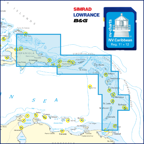 NV Karibik & Bermuda Plotterseekarte NV Verlag / NV Charts129,99 € inkl. MwSt., zzgl. Versandkosten
 -
 NV Charts Pilot 5 North Atlantic Ocean - Gibraltar to Caribbean, Atlantic Islands NV Verlag / NV Charts24,99 € inkl. MwSt., zzgl. Versandkosten
Bisher wurden noch keine Kommentare zu diesem Eintrag verfasst.