Nature Reserve St. Eustatius
Navinfo
Breite
17° 28’ 23.4” NLänge
63° 59’ 43.5” WInformation
The area around St. Eustatius between the high waterline and the 30 m contour designated as the Statia National Marine Park. With exception of the designated anchorage areas, anchoring is allowed only with permission of the local authorities.
See www.statiapark.org for further information.
Kommentare
Du kannst mit der NV Charts App (Windows - iOS - Android - Mac OSX) Kommentare hinzufügen.
Unter nvcharts.com/app kannst du die aktuelle Version installieren.
Passende NV Charts Seekarten für diesen Ort Durch einen Klick auf das Produkt gelangst du direkt in den Shop.
-
 NV Charts Caribbean 12.2 - Leeward Islands NV Verlag / NV Charts94,99 € inkl. MwSt., zzgl. Versandkosten
 -
 NV Charts Pilot 6 - US East Coast, Maine to Caribbean • Bermuda NV Verlag / NV Charts24,99 € inkl. MwSt., zzgl. Versandkosten
 -
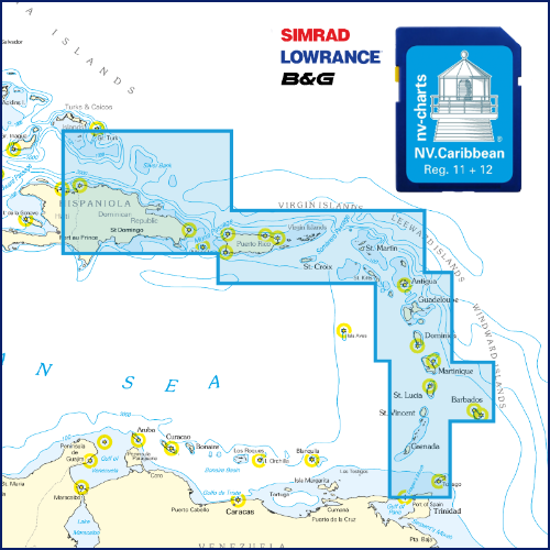 NV Karibik & Bermuda Plotterseekarte NV Verlag / NV Charts129,99 € inkl. MwSt., zzgl. Versandkosten
 -
 NV Charts Pilot 5 North Atlantic Ocean - Gibraltar to Caribbean, Atlantic Islands NV Verlag / NV Charts24,99 € inkl. MwSt., zzgl. Versandkosten

Bisher wurden noch keine Kommentare zu diesem Eintrag verfasst.