Puerto Deportivo Tomás Maestre
Marina near San Javier (La Manga del Mar Menor)
Latitude
37° 44’ 43.4” NLongitude
0° 15’ 28.8” WMarina Information
| Max Depth | 3 m |
Contact
| Phone | +34 968 14 08 16 |
| Please enable Javascript to read | |
| Website | https://puertomaestre.com |
| VHF Channel | 9 |
Surroundings
Electricity
Water
Toilet
Shower
Restaurant
Imbiss
Crane
Internet
Fuel
Diesel
Petrol
Garbage
Comments
Carlos Romero , Maryné
For entrance into the Harbour the the bridge open every two hours (see the plan)
26.05.2021 07:01
You can add comments with the NV Charts App (Windows - iOS - Android - Mac OSX).
You can download the current version at nvcharts.com/app.
Buy nv charts covering this place Clicking one of the products will open the nv charts shop.
-
 NV Charts Pilot 4 - Mediterranean West, Gibraltar to Sicily Adriatic Sea NV Verlag / NV Charts24,99 € incl. VAT, excl. Shipping
 -
 NV Charts Spain ES3 - Gibraltar to Cabo de San Antonio NV Verlag / NV Charts64,99 € incl. VAT, excl. Shipping
 -
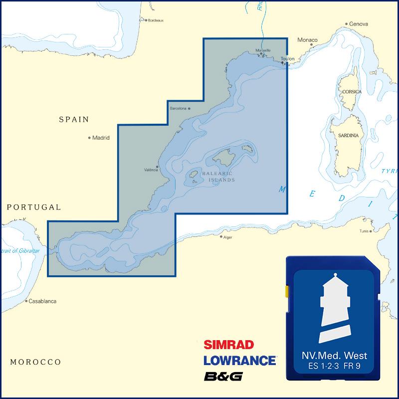 NV Plottekarten westliches Mittelmeer und Balearen NV Verlag / NV Charts129,99 € incl. VAT, excl. Shipping
Places nearby

Related Regions
This location is included in the following regions of the BoatView harbour guide: