Useriner See
Navinfo near Userin
Latitude
53° 19’ 10.4” NLongitude
12° 57’ 32.5” EInformation
Sailors can use the Useriner See, paddlers and canoeists even
another 12 river kilometers.
From the lock Zwenzow, the Havel and the following waters are
closed for boats with motor drive.
Comments
You can add comments with the NV Charts App (Windows - iOS - Android - Mac OSX).
You can download the current version at nvcharts.com/app.
Buy nv charts covering this place Clicking one of the products will open the nv charts shop.
-
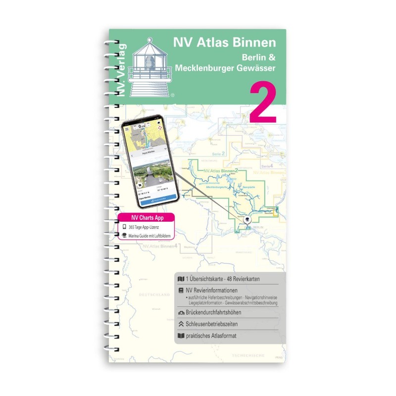 NV Binnen 2 Kombipack Berlin & Mecklenburgische Gewässer NV Verlag / NV Charts44,99 € incl. VAT, excl. Shipping
 -


No comments or ratings have been added to this POI.