Pucisca - Brac
Marina near Pučišća
Latitude
43° 20’ 3.2” NLongitude
16° 44’ 50.2” EDescription
Pucisca, a harbour village at the end of a 3/4sm long, south
running, channel-like bay with 2 arms - Puciski Dolac and Stipanska
Luka. In the eastern arm you can anchor well at 5.6m water depth.
When entering the western arm, you can moor behind the small
breakwater on the southern shore (Fl.R) at the quay wall on 2 -
2.3m water depth. The following bay to the south has water depths
around 3m and is occupied by local boats. Then comes the short
breakwater from the inner harbour and behind it are moorings on the
quay wall from 3 - 3.2m water depth which decreases to 2m. On the
north shore around 4m water depth, there is hardly any space for
guests, the place should be left free for the excursion boats. The
bora is relatively strong here and the harbor becomes
uncomfortable.
Marina Information
| Max Depth | 3 m |
Contact
Surroundings
Electricity
Water
Toilet
Shower
Restaurant
Atm
Grocery
Garbage
Comments
You can add comments with the NV Charts App (Windows - iOS - Android - Mac OSX).
You can download the current version at nvcharts.com/app.
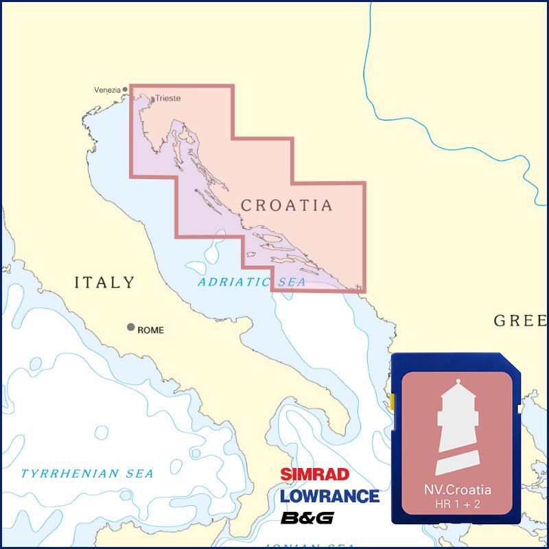
Buy nv charts covering this place Clicking one of the products will open the nv charts shop.
Places nearby
Related Regions
This location is included in the following regions of the BoatView harbour guide:


No comments or ratings have been added to this POI.