Le Port de Lorient
Marina near Lorient
Latitude
47° 44’ 36.8” NLongitude
3° 38’ 44.4” WDescription
Lorient is the main marine city in southern Brittany. Lorient is known for its five harbours, two of which are reserved for yachtsmen. The fishing port is one of the largest in France. Thanks to the outstanding yachtsman Eric Tabarly, Lorient is also known as the "City of Sailing".
NV Cruising Guide
Navigation
During the approach, St. Michael's Island can be used as a landmark. Access is possible from 30 minutes before until 1.5 hours after Full Tide. The sheltered harbour can be accessed at all times.
Berths
The port has 370 berths on pontoons, of which 50 are reserved for visitors. Anchoring in this port is possible.
Surroundings
A laundry and a dryer are at your disposal. You will find many restaurants around the harbour, especially in the north in the city centre.
Marina Information
| Max Depth | 2 m |
Contact
| Phone | +33 297211014 |
| Please enable Javascript to read | |
| Website | https://www.ports-paysdelorient.fr/fr/ports/le-port-de-lorient |
| VHF Channel | 9 |
Surroundings
Electricity
Water
Toilet
Shower
Crane
Internet
Boatyard
Ramp
Travellift
Bikerental
Garbage
Comments
You can add comments with the NV Charts App (Windows - iOS - Android - Mac OSX).
You can download the current version at nvcharts.com/app.
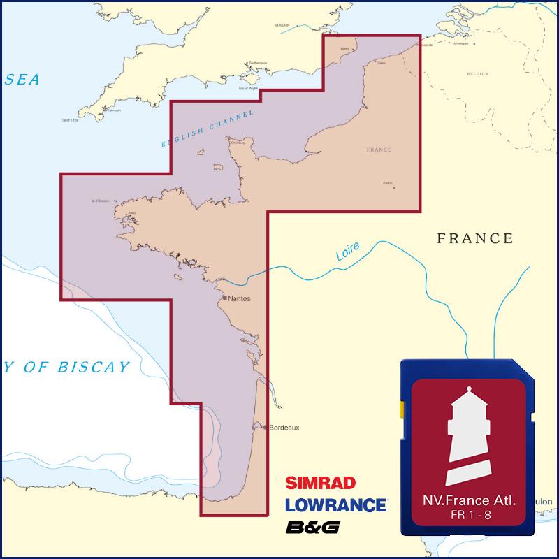
Buy nv charts covering this place Clicking one of the products will open the nv charts shop.
-
 NV Charts Pilot 5 North Atlantic Ocean - Gibraltar to Caribbean, Atlantic Islands NV Verlag / NV Charts24,99 € incl. VAT, excl. Shipping
 -
 NV Charts France FR6 - Lorient à l`Île de Noirmoutier NV Verlag / NV Charts64,99 € incl. VAT, excl. Shipping
 -
-

Places nearby

Related Regions
This location is included in the following regions of the BoatView harbour guide:
No comments or ratings have been added to this POI.