Trogir - Festungsanlage
Foto near Trogir (Balan)
Latitude
43° 30’ 58.7” NLongitude
16° 14’ 49.1” EDescription
The fortress "Kamerlengo" of Trogir was built in the 15th century at the time of the Republic of Venice. Illuminated in the dark, the castle offers a scenery worth seeing, which is gladly used for special events. Among other things, there is an international competition of young tenors, whose singing in the historic walls is a worthwhile experience.
Comments
You can add comments with the NV Charts App (Windows - iOS - Android - Mac OSX).
You can download the current version at nvcharts.com/app.
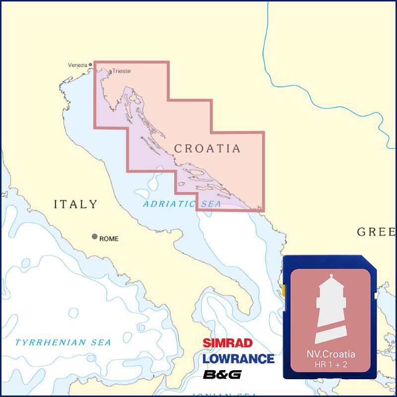
Buy nv charts covering this place Clicking one of the products will open the nv charts shop.
Places nearby
Related Regions
This location is included in the following regions of the BoatView harbour guide:


No comments or ratings have been added to this POI.