Port Pin Rolland
Marina near Saint-Mandrier-sur-Mer
Latitude
43° 4’ 43.9” NLongitude
5° 54’ 26.7” EMarina Information
| Max Depth | 3 m |
Contact
| Phone | +33 4 94 94 14 19 |
| VHF Channel | 09 |
Surroundings
Electricity
Water
Toilet
Shower
Crane
Internet
Boatyard
Garbage
Comments
Daniel B., Leopard 48 (Musa)
War unser Start/Ziel Hafen von DYC. Erfüllt den Zweck, mehr aber auch nicht. Würde ich auf einem Törn nicht anlaufen.
24.08.2020 15:27
You can add comments with the NV Charts App (Windows - iOS - Android - Mac OSX).
You can download the current version at nvcharts.com/app.
Buy nv charts covering this place Clicking one of the products will open the nv charts shop.
-
 NV Charts Pilot 4 - Mediterranean West, Gibraltar to Sicily Adriatic Sea NV Verlag / NV Charts24,99 € incl. VAT, excl. Shipping
 -
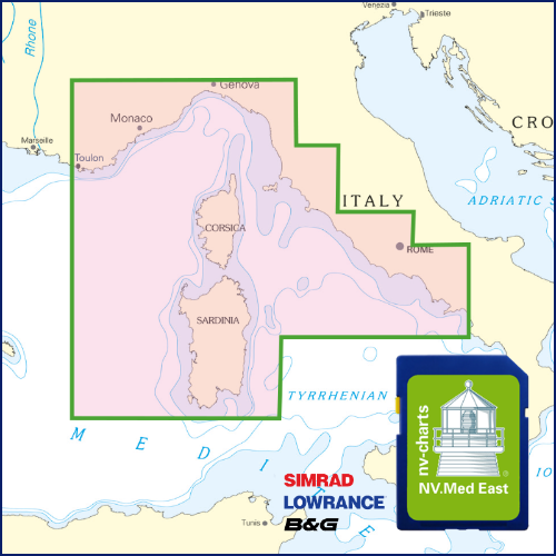
 NV Charts France FR10 - Toulon to Menton, Monaco NV Verlag / NV Charts64,99 € incl. VAT, excl. Shipping
 -
-
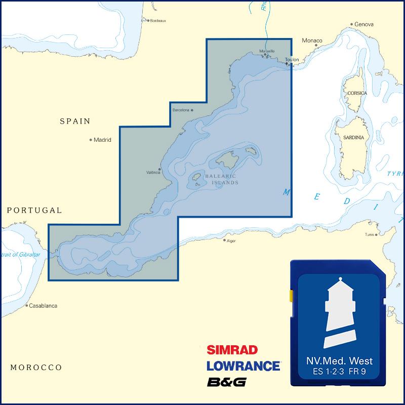 NV Plottekarten westliches Mittelmeer und Balearen NV Verlag / NV Charts129,99 € incl. VAT, excl. Shipping
 -

Places nearby

Related Regions
This location is included in the following regions of the BoatView harbour guide: