Unterems - Friesenbrücke Weener, Verkehrsbehinderungen
Navinfo near Westoverledingen
Latitude
53° 9’ 41.4” NLongitude
7° 22’ 20.8” EInformation
| Valid from | 30.09.2021 |
| Valid until | 14.03.2024 |
From 25.11 2021 will take place, among other things, rehabilitation work at the stern of the main navigation opening of the railroad bridge Weener (Friesenbrücke).
In addition, ramming work will be carried out in the
former western passage of the bridge.
This passage is immediately closed to all shipping
traffic.
North and south of the bridge are lighted dolphins rammed. These serve to protect work equipment or work pontoons during the demolition work on the central pier and the closure of the former bridge passage.
The aforementioned work is carried out by the pile-driving pontoon "Jan". The tug "Gruno" can be contacted on VHF channel 10 or 15 for arrangements with the pile driving pontoon. The work equipment shows signals according to KVR and EmsSchO.
To further secure the deconstruction work, a traffic safety
vehicle above and one below the construction site are temporarily
on site. These inform the passing shipping about possible
obstructions and consideration during the passage of the
construction site.
All mentioned vehicles can be reached via VHF channel 10 and 15
respectively.
The instructions of the traffic control vehicles and the instructions of the Ems traffic control center are to be followed.
In the area of the construction site, speed is to be reduced to the lowest possible level for maneuverability during passage.Suction and wave impact are to be avoided.
Shipping is warned.
On 05.04.2022 in the time from approx. 14:00 to 15:30 h the floating crane "ENAK" narrows the fairway . The passage of the narrowing is to be coordinated in time with the traffic center Ems and the floating crane. The individual orders of the river and navigation police authority are to be obeyed immediately.
Comments
You can add comments with the NV Charts App (Windows - iOS - Android - Mac OSX).
You can download the current version at nvcharts.com/app.
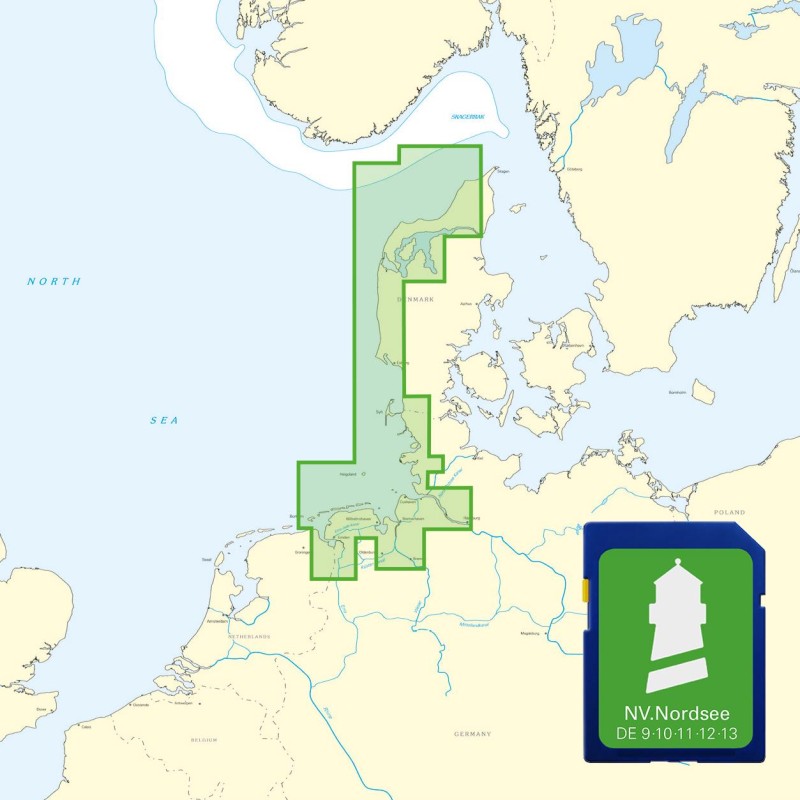
Buy nv charts covering this place Clicking one of the products will open the nv charts shop.
Places nearby
Related Regions
This location is included in the following regions of the BoatView harbour guide:


No comments or ratings have been added to this POI.