Befahrungsregeln Nationalpark(NordSBefV) / Navigation in National Parks
Navinfo near Hamburg
Latitude
53° 56’ 34” NLongitude
8° 22’ 18.5” EInformation
The new North Sea Navigation Ordinance (NordSBefV) serves to protect nature as well as the animal and plant world and is essentially divided into three areas: navigation bans, behavior in protected areas and speed limits.
In general, the rule is that you can sail and anchor freely outside the protected areas!
No boating:
Within the protected areas, windsurfing is only permitted in
designated areas (marked on the NV chart), while water skiing, jet
skiing and parasailing are generally prohibited.
All year round, boating outside the fairways is only permitted on the specified protected area routes 1 and 2. These are shown in gray dashed lines on the NV Charts nautical chart. During the protection periods for seals, birds or seagrass beds, navigation is generally prohibited in the special protection areas. Exceptions are the marked fairways. Navigation is permitted in Zone 1, but falling dry is only permitted in designated areas (in NV map with red anchor) and within a 200 m radius. The previous 3-hour rule for Zone 1 no longer applies.
Leaving watercraft in protected areas is only permitted in exceptional cases.
Speed limits:
A maximum of 12 knots is permitted between the mainland and the
islands and Halligen. Depending on the permissibility of
navigation, a maximum of 8 knots is permitted in special protection
areas outside the fairway. A maximum of 16 knots is permitted in
fairways outside special protection areas. Only commercially used
watercraft may travel at up to 24 knots in high-speed corridors or
certain fairways under specific conditions.
Further information can be found at https://www.recht.bund.de/eli/bund/bgb_l/2023/113/VO.
Comments
You can add comments with the NV Charts App (Windows - iOS - Android - Mac OSX).
You can download the current version at nvcharts.com/app.
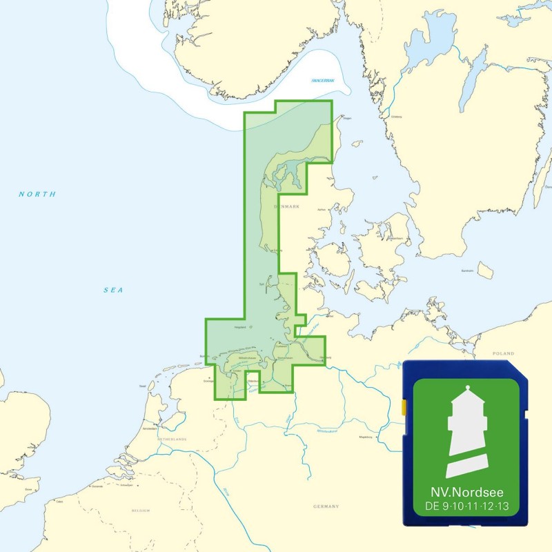
Buy nv charts covering this place Clicking one of the products will open the nv charts shop.
Places nearby
Related Regions
This location is included in the following regions of the BoatView harbour guide:


No comments or ratings have been added to this POI.