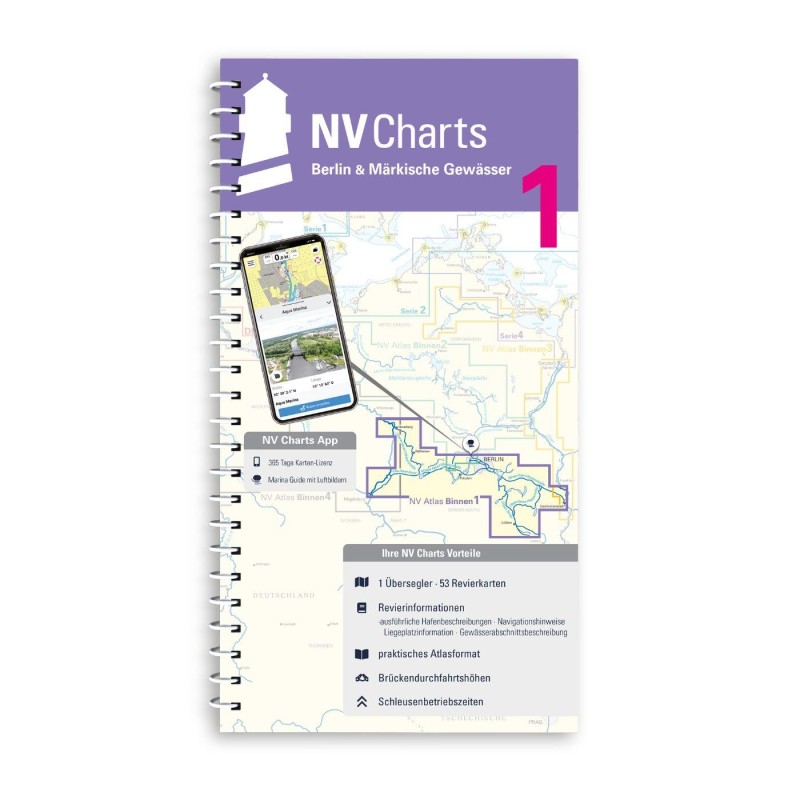
Revierinformationen
Navinfo near Königs Wusterhausen
Latitude
52° 20’ 45.1” NLongitude
13° 43’ 34.2” EInformation
The Oder-Spree Canal is 45km long.
AT 2m (main section SOW).
DH 4.0m at MW (water level dependent), passage width 9m.
zHG Unless further restricted by signage, zHG is 10km/h.
Between Seddinsee and Wernsdorf lock, the UP Wernsdorf applies:
reference level MW 209 cm, tel. 03362-881968.
Between Wernsdorf lock and Fürstenwalde lock, the OP Große
Tränke/Wehr applies: reference level MW 213 cm, tel. 033633-19 428.
Comments
You can add comments with the NV Charts App (Windows - iOS - Android - Mac OSX).
You can download the current version at nvcharts.com/app.


No comments or ratings have been added to this POI.