Hope Town
Marina near Hope Town
Latitude
26° 32’ 18.6” NLongitude
76° 2’ 23.2” WDescription
NV Cruising Guide
Navigation
The control depth on the approach to Hope Town is 1.7 m; boats
pulling more than that should adjust the approach for high water.
Head north past Parrot Cays, located west of Elbow Cay and the
entrance to Hope Town. The red and white lighthouse is a landmark.
After you pass Parrot Cays, boats less than 5 feet long can head
for Eagle Rock, which is marked by a yellow house and satellite
dish. If you head for a point south of the lighthouse, you will
find about 1.7 meters of water on the course indicated in the plan.
When you reach the entrance outside Eagle Rock and you can see the
concrete road ashore, head for it on a bearing of 141° true. Two
white range posts with red triangles at the end of the road also
mark a range on approach. Turn to starboard into the center of the
port opening. The channel is well marked by numerous red and green
bullets. Mooring: There are three facilities in Hope Town: the Hope
Town Hideaways Marina, Club Soleil Resort's Hope Town Marina, and
the Lighthouse Marina, which sells gasoline and diesel and has a
marine store. Ashore, there are two grocery stores, a fish market
and several boutiques.
The oft-crowded anchorage in Hope Town Harbor offers all-around
protection, but it has poor holding. It is better to pick up a
mooring (VHF 16) from Club Soleil's Hope Town Marina, Abaco Bahama
Charters, or Lucky Strike. Outside Hope Town Harbour, shelter can
be had from northeasterly to southerly winds just north of Eagle
Rock. The west coast of Elbow Cay provides protection from easterly
winds.
Marina Information
| Max Depth | 1.9 m |
Contact
| Website | http://www.hopetownmarina.com/ |
Surroundings
Electricity
Water
Toilet
Restaurant
Fuel
Diesel
Petrol
Comments
You can add comments with the NV Charts App (Windows - iOS - Android - Mac OSX).
You can download the current version at nvcharts.com/app.
Buy nv charts covering this place Clicking one of the products will open the nv charts shop.
-
 NV Charts Pilot 5 North Atlantic Ocean - Gibraltar to Caribbean, Atlantic Islands NV Verlag / NV Charts24,99 € incl. VAT, excl. Shipping
 -
 NV Charts Pilot 6 - US East Coast, Maine to Caribbean • Bermuda NV Verlag / NV Charts24,99 € incl. VAT, excl. Shipping
 -
 NV Charts Bahamas 9.1 - Northwest - Bimini & Berry Islands - Nassau to Abaco - Grand Bahama NV Verlag / NV Charts74,99 € incl. VAT, excl. Shipping
 -
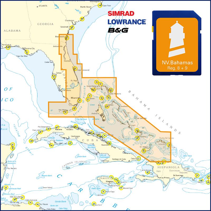 NV Florida - Bahamas & Bermuda Plotterseekarte NV Verlag / NV Charts129,99 € incl. VAT, excl. Shipping

No comments or ratings have been added to this POI.