Man - O - War Cay
Marina near Hope Town
Latitude
26° 35’ 43.2” NLongitude
77° 59’ 33.3” WDescription
NV Cruising Guide
Navigation
From the east, pass through either North Man-O-War Channel or South Man-O-War Channel. Either requires settled conditions and detailed knowledge, but the wider channel north, with a controlling depth of 5 m, is significantly easier to navigate than its southern twin. Once you have cleared Man-O-War’s northwestern tip, head southeast toward the harbor. From all directions, stay east of Garden Cay and Sandy Cay outside Man-O-War Harbour. The narrow channel at the south end of Dickies Cay, which forms the outer barrier of the harbor, makes for a tricky entrance to Man-O-War Harbour. Do not try to pass another boat in the entrance. Berthing: Man-O-War Marina has slips and moorings as well as gas and diesel. Edwin’s Boat Yard offers repairs and has a stock of marine parts.
Marina Information
| Max Depth | 1.8 m |
Contact
| Website | http://www.edwinsboatyard.com |
Surroundings
Electricity
Water
Toilet
Restaurant
Fuel
Diesel
Petrol
Comments
You can add comments with the NV Charts App (Windows - iOS - Android - Mac OSX).
You can download the current version at nvcharts.com/app.
Buy nv charts covering this place Clicking one of the products will open the nv charts shop.
-
 NV Charts Pilot 5 North Atlantic Ocean - Gibraltar to Caribbean, Atlantic Islands NV Verlag / NV Charts24,99 € incl. VAT, excl. Shipping
 -
 NV Charts Pilot 6 - US East Coast, Maine to Caribbean • Bermuda NV Verlag / NV Charts24,99 € incl. VAT, excl. Shipping
 -
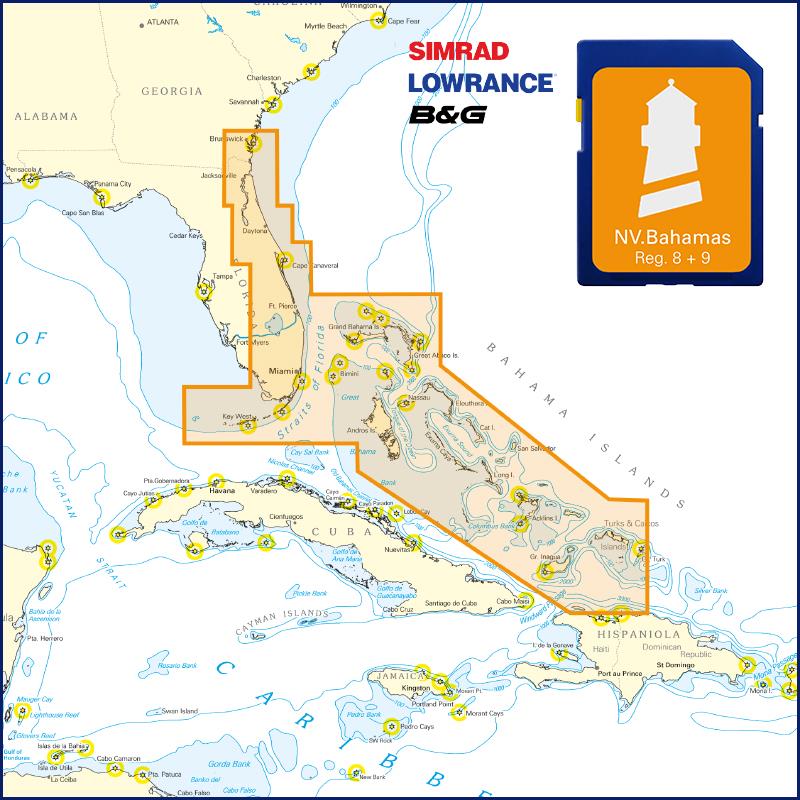
 NV Charts Bahamas 9.1 - Northwest - Bimini & Berry Islands - Nassau to Abaco - Grand Bahama NV Verlag / NV Charts74,99 € incl. VAT, excl. Shipping
 -
 NV Florida - Bahamas & Bermuda Plotterseekarte NV Verlag / NV Charts129,99 € incl. VAT, excl. Shipping

No comments or ratings have been added to this POI.