TSS Cabo Sao Vicente
Navinfo
Latitude
36° 50’ 23.3” NLongitude
9° 47’ 58.2” WInformation
TSS Off Cabo São Vicente
A TSS for the use of vessels rounding Cabo São Vicente is established, as shown on the chart. There are special provisions relating to the use of the TSS, with additional traffic lanes for vessels carrying dangerous or pollutant cargoes. The area between the TSS and the coast is designated as an inshore traffic zone.
Vessel reporting:
Coast of Portugal VTS/ COPREP Roca Control VHF Ch.16/ 22.
Comments
You can add comments with the NV Charts App (Windows - iOS - Android - Mac OSX).
You can download the current version at nvcharts.com/app.
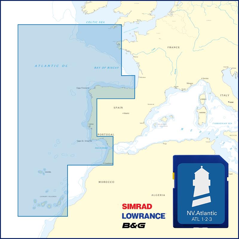
Buy nv charts covering this place Clicking one of the products will open the nv charts shop.
Places nearby
Related Regions
This location is included in the following regions of the BoatView harbour guide:


No comments or ratings have been added to this POI.