Dyreborg - Unterwasserhindernis
Warning near Dyreborg
Latitude
55° 4’ 16.5” NLongitude
10° 13’ 2.4” EInformation
| Valid from | 07.07.2022 |
The anointing was canceled about 40cm below the water surface and poses a danger to navigation.
Comments
You can add comments with the NV Charts App (Windows - iOS - Android - Mac OSX).
You can download the current version at nvcharts.com/app.
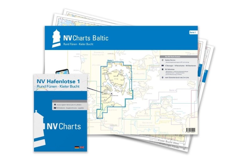
Buy nv charts covering this place Clicking one of the products will open the nv charts shop.
Places nearby
Related Regions
This location is included in the following regions of the BoatView harbour guide:


No comments or ratings have been added to this POI.