Brightlingsea Harbour
Marina near Tendring (Brightlingsea)
Latitude
51° 48’ 19.5” NLongitude
1° 1’ 21.5” EMarina Information
| Max Depth | 2 m |
Contact
| Phone | +41206302200 |
| Please enable Javascript to read | |
| Website | https://www.brightlingseaharbour.org/harbour-information/ |
| VHF Channel | 80 |
Surroundings
Electricity
Water
Toilet
Shower
Garbage
Comments
Eddy Van Hove, Sail Away
When you have to stay on the river jetty’s you need a dinghy or the watertaxi (3£p.p.) to go ashore.
01.09.2022 17:01
You can add comments with the NV Charts App (Windows - iOS - Android - Mac OSX).
You can download the current version at nvcharts.com/app.
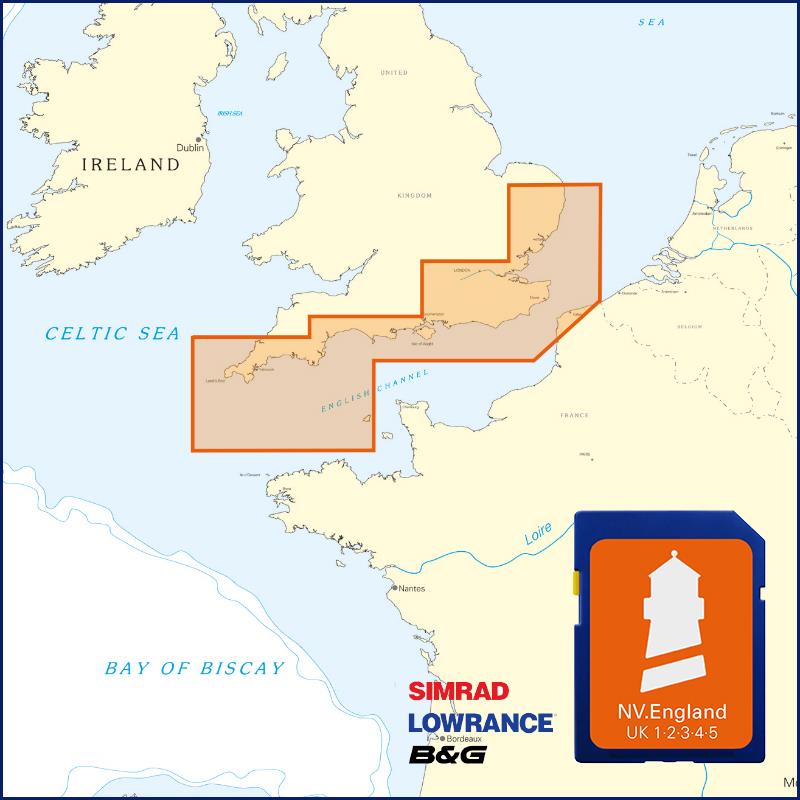
Buy nv charts covering this place Clicking one of the products will open the nv charts shop.
-
 NV Charts Pilot 2 North Sea - Falmouth to Kristiansand - Inverness NV Verlag / NV Charts24,99 € incl. VAT, excl. Shipping
 -
 NV Charts England UK5 - Thames Estuary to Great Yarmouth NV Verlag / NV Charts64,99 € incl. VAT, excl. Shipping
 -
Places nearby

Related Regions
This location is included in the following regions of the BoatView harbour guide: