Omisalj
Marina near Omišalj
Latitude
45° 12’ 34.2” NLongitude
14° 32’ 56.3” EDescription
A settlement of more than a thousand years at 85m at the end of a fjord-like bay. Today a modern town with numerous tourist facilities opposite an oil terminal.
A natural breakwater separates the bathing beach from the town harbor, here are 4 jetties, a 5t crane and a moorings with moorings in front.
One of the sights is Fortičina, far above the bay, built in the 14th century by the noble family of Frankopan on older ruins.
Marina Information
| Max Depth | 3 m |
Contact
Surroundings
Restaurant
Garbage
Comments
You can add comments with the NV Charts App (Windows - iOS - Android - Mac OSX).
You can download the current version at nvcharts.com/app.
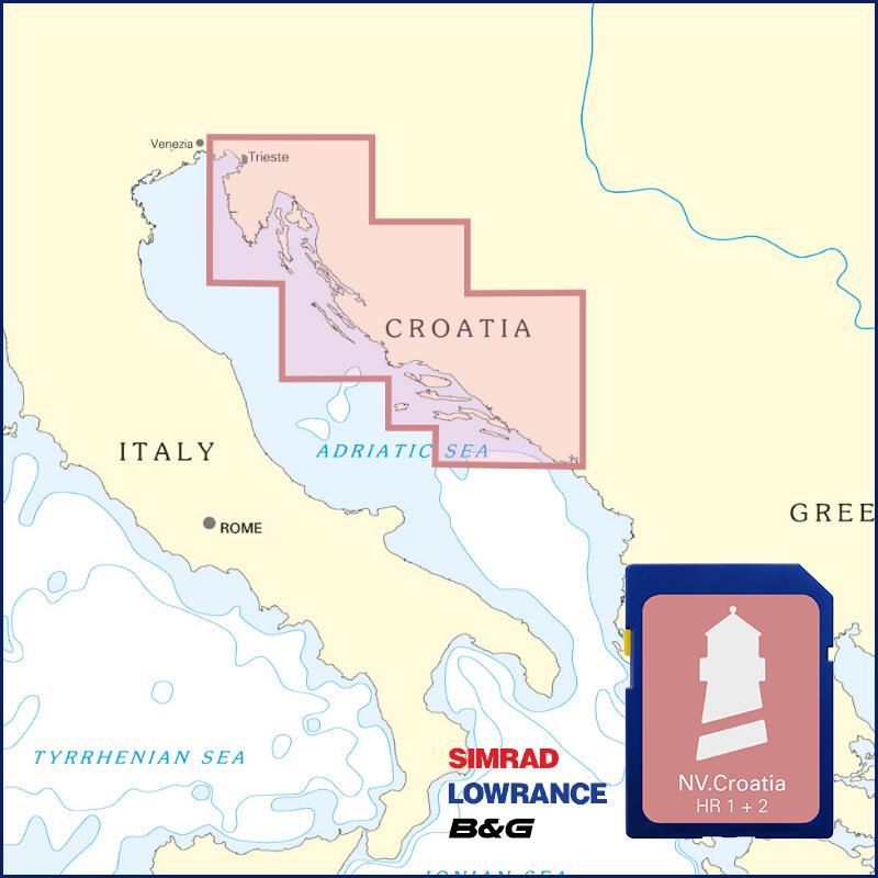
Buy nv charts covering this place Clicking one of the products will open the nv charts shop.
Places nearby
Related Regions
This location is included in the following regions of the BoatView harbour guide:


No comments or ratings have been added to this POI.