Wassersportverein Rechtenfleth
Marina near Hagen im Bremischen
Latitude
53° 23’ 6.4” NLongitude
8° 30’ 3.2” EDescription
Small marina of the Rechtenfleth water sports club
NV Cruising Guide
Navigation
The small harbor is located on the Inkersfleth foreshore. Access is to the south of Buhne 76 via a dry, bulbous channel. Enter with a draught of 1.4m approx. 3 hours before and after high tide
Berths
The tide-dependent harbor falls dry.
Only shallow-lying ships should moor at the jetty, as there is only a thin, soft layer of silt here.
Vessels up to 1.70 m can easily sink into the silt in the pits.
Surroundings
There is a toilet at the top of the sheet piling. Electricity and water are available at the jetties.
The harbor is affiliated to the FSB free port agreement.
Costs for electricity, water and mooring fees can be viewed on the HomePage or in the showcase.
The Mensing restaurant is located nearby.
Marina Information
| Max Depth | 3 m |
| Berth Width | 3.5 m |
| Berth Length | 12 m |
Contact
| Phone | +4947021212 |
| Please enable Javascript to read | |
| Website | https://wvrf.de/ |
Surroundings
Electricity
Water
Toilet
Restaurant
Comments
You can add comments with the NV Charts App (Windows - iOS - Android - Mac OSX).
You can download the current version at nvcharts.com/app.
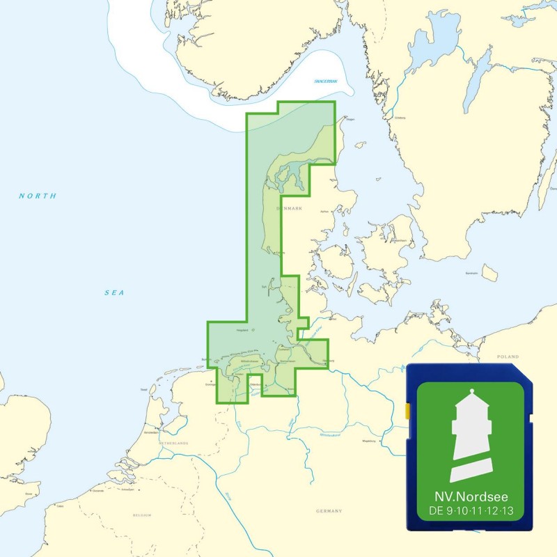
Buy nv charts covering this place Clicking one of the products will open the nv charts shop.
Places nearby
Related Regions
This location is included in the following regions of the BoatView harbour guide:


