Hirsthals
Marina near Hirtshals
Latitude
57° 35’ 34” NLongitude
9° 57’ 23.8” EDescription
Busy fishing and ferry port in the northwest of Denmark. Good shelter can be found in the west basin of Hirsthals harbour where the fishing boats are moored. Places should be arranged with the harbour masters.
NV Cruising Guide
Navigation
If there is a strong onshore wind, it is not advisable to approach the port of Hirsthal with yachts. The then easterly setting current (up to 3 kn) can then cause heavy swell. Otherwise, the well-lit harbour of Hirsthals is easy to approach during the day and at night. The harbour offers good access to the city centre but is less of a marina designed for yachts. Heavy ferry traffic is to be expected. Advance notice with VHF / VHF is helpful and traffic may be requested.
Marina Information
| Max Depth | 4.5 m |
Contact
| Phone | +45 98 94 14 22 |
| Please enable Javascript to read | |
| Website | https://www.hirtshalshavn.dk |
| VHF Channel | 12 |
Surroundings
Electricity
Water
Toilet
Shower
Restaurant
Crane
Atm
Fuel
Grocery
Boatyard
Ramp
Public Transport
Garbage
Comments
You can add comments with the NV Charts App (Windows - iOS - Android - Mac OSX).
You can download the current version at nvcharts.com/app.
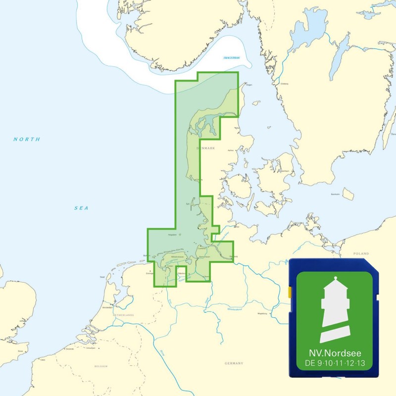
Buy nv charts covering this place Clicking one of the products will open the nv charts shop.
Places nearby
Related Regions
This location is included in the following regions of the BoatView harbour guide:


