Cala de San Vicente - Ibiza
Foto near Sant Joan de Labritja
Latitude
39° 4’ 30.6” NLongitude
1° 35’ 33.8” EDescription
Cala de San Vicente - the protected anchorage in the north of the Ensenada de San Vincente. A wide sandy beach in front of a holiday area and a sheltered bay that is only open to the south.
Here you can, before the separated bathing zone, on 3-6m water depth well anchor.
In the holiday area there are beach bars and restaurants, but no
mini market. On the peninsula near Pta. Grosa are individual
holiday homes with hiking trails and beautiful viewpoints.
You can hike to the eastern point -to the ruins of the old
lighthouse.
_____________________________
Cala de San Vicente - sheltered anchorage to the north of Ensenada de San Vincente. A wide sandy beach in front of a holiday area, the bay is only open to the south.
Here, in front of the separate bathing zone, you can anchor well in 3-6m depth.
There are beach bars and restaurants in the holiday area, but no
mini-market.
On the peninsula near Pta.Grosa are individual holiday homes with
hiking trails and beautiful viewpoints. You can hike to the eastern
point - to the ruins of the old lighthouse.
Comments
You can add comments with the NV Charts App (Windows - iOS - Android - Mac OSX).
You can download the current version at nvcharts.com/app.
Buy nv charts covering this place Clicking one of the products will open the nv charts shop.
-
 NV Charts Pilot 4 - Mediterranean West, Gibraltar to Sicily Adriatic Sea NV Verlag / NV Charts24,99 € incl. VAT, excl. Shipping
 -
 NV Charts Spain ES2 - Balearic Islands, Ibiza to Menorca NV Verlag / NV Charts64,99 € incl. VAT, excl. Shipping
 -
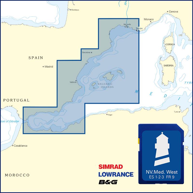 NV Plottekarten westliches Mittelmeer und Balearen NV Verlag / NV Charts129,99 € incl. VAT, excl. Shipping
Places nearby

Related Regions
This location is included in the following regions of the BoatView harbour guide:
No comments or ratings have been added to this POI.