Skuldelev
Marina near Skuldelev Strand (Torp Mark)
Latitude
55° 47’ 44.2” NLongitude
12° 3’ 27.3” EDescription
Local small boat harbour on the west shore of Roskildefjord.
NV Cruising Guide
Navigation
The unlit waters can only be approached during the day. From the fairway of Roskildefjord, head directly west towards the harbour. When entering the harbour, keep closer to the southern head of the pier. Be aware of the many nets in the shallow water around the harbour.
Berths
In the harbour, which is very busy with local small boats, guests will find limited berthing facilities. The water depth is about 1.5m.
Surroundings
The harbour offers only very basic sanitary facilities and no
service or supply facilities. Østby Havn:
The lime works jetty 2.5sm south of Skuldelev may not be used by
recreational boating.
NV Land Guide
Most sports boats pass Skuldelev, which is understandable, because apart from the boats of recreational fishermen, a reed belt on the fjord shore and a small, wooden clubhouse, there is nothing worth talking about. The telephone in the clubhouse seems to be a superfluous luxury in view of the simple conditions, as well as the bathing pontoon and the jetty at the small bathing beach 50 metres to the south. You will certainly get to know the stereotypical cottage area when you go shopping in the village three kilometres away.
Skuldelev did not always sleep the sleep of Sleeping Beauty. The fjord narrows were once of strategic importance to the Vikings of Roskildefjord. This is evidenced by the boats found in the Viking Museum in Roskilde. They had been sunk (loaded with large stones) in the narrows as protection against raids by foreign fleets.
Many decades ago, the fishermen of Skuldelev had claimed that the stone barrier in the "Pepper Channel" contained a ship. But they believed that a sailing ship belonging to Queen Margaret I lay there. Only with new diving equipment, which had been developed in the post-war years, could the fishermen's claim be verified at the end of the 1950s. The sensation was perfect when parts of Viking boats were discovered.
The jetty of the lime works, 2.5 nautical miles south of Skuldelev, is not allowed to be used by recreational shipping.
Marina Information
| Max Depth | 1.5 m |
Contact
| Phone | +45 4752 0499 |
| Please enable Javascript to read | |
| Website | http://www.skuldelev-havn.dk |
Surroundings
Electricity
Water
Toilet
Fuel
Grocery
Ramp
Bikerental
Garbage
Comments
You can add comments with the NV Charts App (Windows - iOS - Android - Mac OSX).
You can download the current version at nvcharts.com/app.
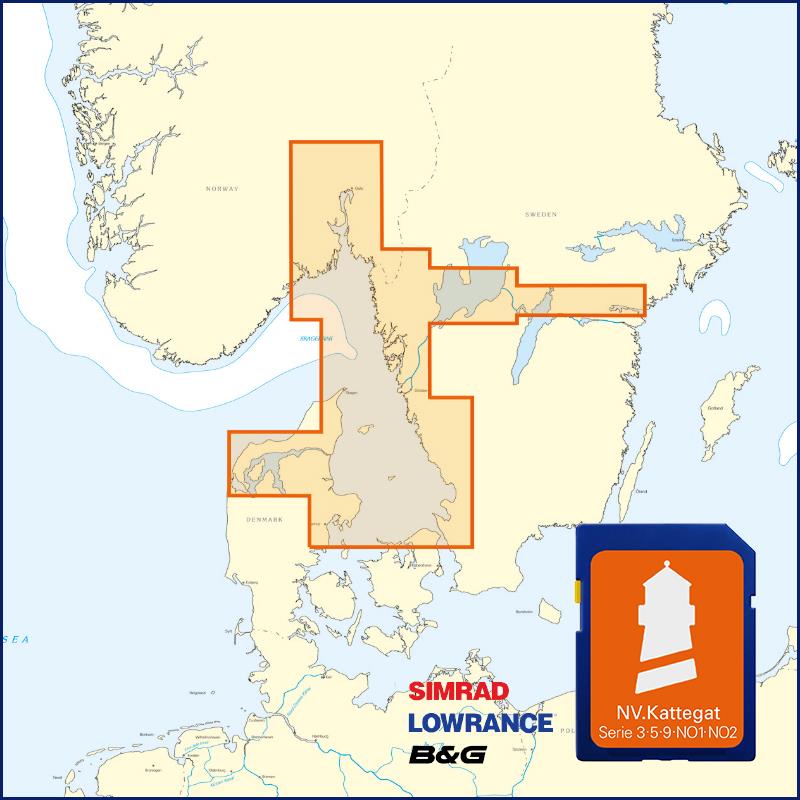
Buy nv charts covering this place Clicking one of the products will open the nv charts shop.
Places nearby
Related Regions
This location is included in the following regions of the BoatView harbour guide:


No comments or ratings have been added to this POI.