Øster Hurup
Marina near Øster Hurup
Latitude
56° 48’ 18.4” NLongitude
10° 16’ 51.2” EDescription
Small, cosy fishing harbour built as an island harbour on the Jutland coast between the Mariagerfjord and the eastern exit of the Limfjord.
NV Cruising Guide
Navigation
The approach to the fired harbour is possible day and night, but should only be done with a draught of maximum 2 m. 50 - 100 m off the harbour entrance is a barre with variable water depths of 1,8 to 2,8 m. During onshore stormy winds there is a strong bottom sea here, which makes it impossible to enter and leave the harbour. The entrance is currently privately marked with red and green buoys - depending on the location of the barre.
Berths
Guests will find limited berthing possibilities in the inner harbour in the area of the south pier. Or you can moor in the southern boat harbour on free places by arrangement. The water depths are around 2 - 2.4 m.
Surroundings
The harbour offers good supply possibilities. In addition to the usual sanitary facilities, a very good repair service is located here.
NV Land Guide
It is cosy, the small harbour of Øster-Hurup. But whether they like it here will not be tested by sports skippers whose yachts have a draught of more than 1.6 metres. Caution is advised especially in difficult wind and wave conditions. In addition, the outer harbour is not free of swell in stronger easterly winds.
A 400-metre road causeway connects the island harbour with the land and Øster-Hurup, which has a population of around 1000 (15-minute walk). Dunes and fine sandy beaches characterise the coastline and holiday homes dominate the picture around the old village. In the north, parallel to the sandy beach, a forest and heath landscape stretches for 15 kilometres to Dokkedal. The wide beaches are considered particularly child-friendly.
Fishing is still an important source of income, although tourism has overtaken it. The many summer visitors are entertained by the Øster-Hurup amusement park with cowboy and Indian land, a giant sandpit, a water slide and canoes.
In early summer, the number of residents of Øster-Hurup skyrockets and the facilities created for tourism awaken from hibernation.
There is no shortage of cafeterias, discos and restaurants. Even at the harbour the supply is right, although the facility offers limited space due to the cramped conditions.
Øster-Hurup is an excellent starting point for a bicycle tour via Helberskov, Hadsund and Kongerslev. The excursion on the so-called Hadsund Trail is described in detail at Hadsund (also map). On the way back you pass one of the largest raised bogs in Europe: "Dyrehave". The bog can be overlooked from an observation tower (seven kilometres northwest of Øster-Hurup).
Marina Information
| Max Depth | 2.4 m |
Contact
| Phone | +45 5129 1901 |
| Please enable Javascript to read | |
| Website | http://www.osterhuruphavn.dk |
Surroundings
Electricity
Water
Toilet
Shower
Restaurant
Imbiss
Crane
Atm
Fuel
Grocery
Boatyard
Ramp
Public Transport
Bikerental
Garbage
Comments
You can add comments with the NV Charts App (Windows - iOS - Android - Mac OSX).
You can download the current version at nvcharts.com/app.
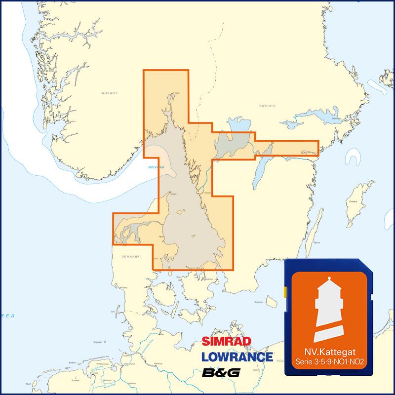
Buy nv charts covering this place Clicking one of the products will open the nv charts shop.
Places nearby
Related Regions
This location is included in the following regions of the BoatView harbour guide:


