Latitude
55° 45’ 19.2” NLongitude
11° 47’ 59.9” EDescription
Ferry terminal and fishing harbour on the south-west side of the island of the same name, now mainly used by pleasure craft.
NV Cruising Guide
Navigation
The fired harbour (Oc.WRG.5s) can be approached day and night. From the red fairway buoy of the "Orø Vestre Løb" one steers (at night in the white sector of the pier light) directly to the western pier head. The last 200 m before the pier heads consist of an unmarked dredging channel with a target depth of 2.5 m.
Berths
There is not much room for guests here, as the harbour is heavily used by local pleasure craft. The best place to moor is on the port side in the western part of the harbour, at a water depth of about 2.5 metres. The ferry dock is closed to recreational boating.
Surroundings
The scenic harbour offers no further services at the harbour
except for very simple sanitary facilities. You can get limited
groceries at the island grocer 1 km away. There is a ferry
connection to Holbaek. Tornehage:
Opposite Orø harbour, on the edge of the forest, is a jetty
belonging to the Holbaek Sailing Club. Yachts are allowed to moor
here for short periods. However, spending the night is not
allowed.
NV Land Guide
Who is looking for seclusion, should not go to this beautiful island at holiday time. The car traffic from the ferry then brings too much unrest with it. At weekends, the 15 km² island is a local destination for sailors from Holbæk. You can therefore enjoy peace and quiet if you sail to Orø in the early or late season and preferably not on a weekend. The ratio of about 500 inhabitants to over 1200 holiday homes makes it clear what the people do for a living apart from farming. Queen Margarethe I. (1375-1412) once had more peace and quiet when she visited her pleasure palace on her island. Unfortunately, there is nothing left to see of the Musenfestung, which is said to have been located near the church north of the Byberg. Instead, a copy of the queen's cross in the museum of the isle reminds of the great ruler of Denmark. Around 1850, the original on display in Copenhagen's National Museum was found on the island by a girl. The museum "Ourø Minder" in Byberg (Memories from Ourø) is located in the former poorhouse of Orø. Built in 1803, it served as a shelter for the poor until 1893. Today it houses both local history objects and a large collection of writings about the island. But the most interesting find is not the aforementioned cross or prehistoric tools, but kitchen waste - that's right, not a spelling mistake: garbage (in Danish: Køkkenmøddinger). What makes the rubbish so interesting is that it dates from the Mesolithic and Neolithic periods, proving that the island has been inhabited since that time. Of course, the kitchen waste is not on display. If you are desperate to see other evidence of early settlement on the island, you will have to make do with the three remaining Bronze Age graves. It is said that 125 of these burial mounds, which were used as building material, once stood on Orø. From the Viking Age, legend tells of a brutal chieftain named Borre, whose name still appears as a field name or on street signs. The entire male population of the islet almost fell victim to a quarrel during the Swedish Wars, in which a young man and a Swedish officer came to blows. After the officer was found dead in the forest, all the men were to be locked up in the church and the church set on fire. They owed their lives to the intercessions of the pastor to the Swedish king. It takes about 20 minutes to walk from the harbour to the main village Bybjerg, where there is also a cosy Kro. The church in Bybjerg was built around 1300 and is well worth a visit for its carvings and Renaissance pews. Trips to the settlements of Nørrestenge (north-west), Næsby (north-east) and Gamløse (east) are a must, as this is the only way to see the whole landscape of the "Pearl of the Isefjord". You may only moor for a short time at the jetty opposite Orø harbour.
Marina Information
Contact
Surroundings
Electricity
Water
Toilet
Shower
Fuel
Grocery
Ramp
Public Transport
Garbage
Comments
You can add comments with the NV Charts App (Windows - iOS - Android - Mac OSX).
You can download the current version at nvcharts.com/app.
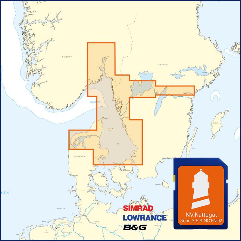
Buy nv charts covering this place Clicking one of the products will open the nv charts shop.
Places nearby
Related Regions
This location is included in the following regions of the BoatView harbour guide:


No comments or ratings have been added to this POI.