Strömstad - Marina Kebalviken
Marina near Kebal
Latitude
58° 56’ 31.7” NLongitude
11° 9’ 45.8” EDescription
Marina with guest places
NV Cruising Guide
Navigation
The fairway is marked almost continuously. It is also possible to enter the harbour at night, provided that the Strömstad leading light is observed. East of the Strömstad light you have to avoid the two shallows Rastegrund and Furholmsgrund. The fairway is marked a bit confusing there.
Berths
You lie in front of the stern anchor at the guest bridge on 2 - 2.5 m water depth. There is good protection from swell, but less from the wind with winds from the east to southeast.
Surroundings
The town was founded only after Bohuslän became Swedish (1658), even though there was already a fishing town here before that. The border trade later made this town almost Norwegian again. A beautiful older development invites you to take a walk, even if a little crowding is to be expected.
Marina Information
| Max Depth | 5 m |
Contact
| Phone | +46 526 714 133 |
| Please enable Javascript to read | |
| Website | https://www.stromstadmarina.se |
Surroundings
Electricity
Water
Toilet
Shower
Restaurant
Imbiss
Crane
Atm
Internet
Grocery
Boatyard
Ramp
Public Transport
Garbage
Sewage
Comments
You can add comments with the NV Charts App (Windows - iOS - Android - Mac OSX).
You can download the current version at nvcharts.com/app.
Buy nv charts covering this place Clicking one of the products will open the nv charts shop.
-
 NV Atlas Kartenkoffer Kattegat Serie 1, 2, 3, 5.1, 5.2 NV Verlag / NV Charts269,00 € incl. VAT, excl. Shipping
 -
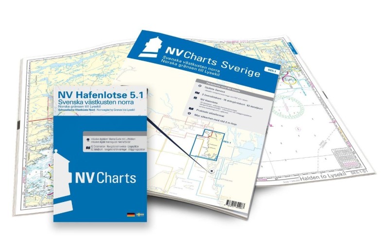 NV Charts Sverige SE 5.1 - Svenska Västkusten Norra NV Verlag / NV Charts69,90 € incl. VAT, excl. Shipping
 -
-

Places nearby

Related Regions
This location is included in the following regions of the BoatView harbour guide: