Bua Hamn
Marina near Bua (Skällåkra)
Latitude
57° 14’ 27.2” NLongitude
12° 6’ 44.3” EDescription
Busy fishing and pleasure boat harbour.
NV Cruising Guide
Navigation
The harbour can also be entered at night. A deck bearing of 56.4° leads into the fjord, another of 127° into the harbour. The fairway is buoyed. In stiff winds and unfavourable currents, the swell before entering the fjord can be unpleasant.
Berths
The guest pier buoy moorings are located in the southern part of the harbour. By arrangement, free berths in the northern part of the harbour can also be used. In July, the fishing pier is also available to pleasure craft. Good protection from all winds except north-westerly and northerly winds (depth 2.5 m).
Surroundings
The Halland fishing community is worth a visit. If you really want to, you can also visit the exhibition hall of the Ringhals nuclear power plant. However, the harbour of the nuclear power plant is closed to pleasure boats. There are bus connections to Varberg.
Marina Information
Contact
| Phone | +46 340 661602 |
| Please enable Javascript to read | |
| Website | https://www.batfjordenshamn.se |
Surroundings
Electricity
Water
Toilet
Shower
Crane
Fuel
Grocery
Boatyard
Ramp
Public Transport
Garbage
Sewage
Comments
You can add comments with the NV Charts App (Windows - iOS - Android - Mac OSX).
You can download the current version at nvcharts.com/app.
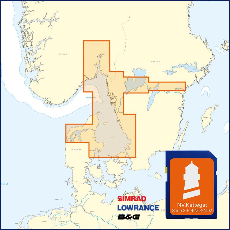
Buy nv charts covering this place Clicking one of the products will open the nv charts shop.
Places nearby
Related Regions
This location is included in the following regions of the BoatView harbour guide:


No comments or ratings have been added to this POI.