Arholmen
Marina near Långegärde
Latitude
58° 52’ 13.4” NLongitude
11° 0’ 4” EDescription
Natural harbour
NV Cruising Guide
Navigation
You can enter from several directions, but precise navigation and a lookout are required. There is a fairly wide fairway between Jutholmen and Arholmen. Once you are across from the northern headland, you can start looking for a berth.
Berths
You are anchored off stern anchors in the bay or at Arholmen's northern tip in 1.5 - 2.7 m water depth. (See map for rock hooks). Good shelter from winds from the east, south and west. The anchoring ground is good, but in some places it is difficult to get enough line out. You should then try to tie the stern lines ashore.
Surroundings
Arholmen looks strange: The island consists of long, narrow ridges running north-south. Between these ridges you can find lots of plants and plenty of places to camp. The good weather protection and the pleasant character of the island make it so popular. There are so many ways to moor your boat here that you can always find a spot.
Marina Information
Contact
Comments
You can add comments with the NV Charts App (Windows - iOS - Android - Mac OSX).
You can download the current version at nvcharts.com/app.
Buy nv charts covering this place Clicking one of the products will open the nv charts shop.
-
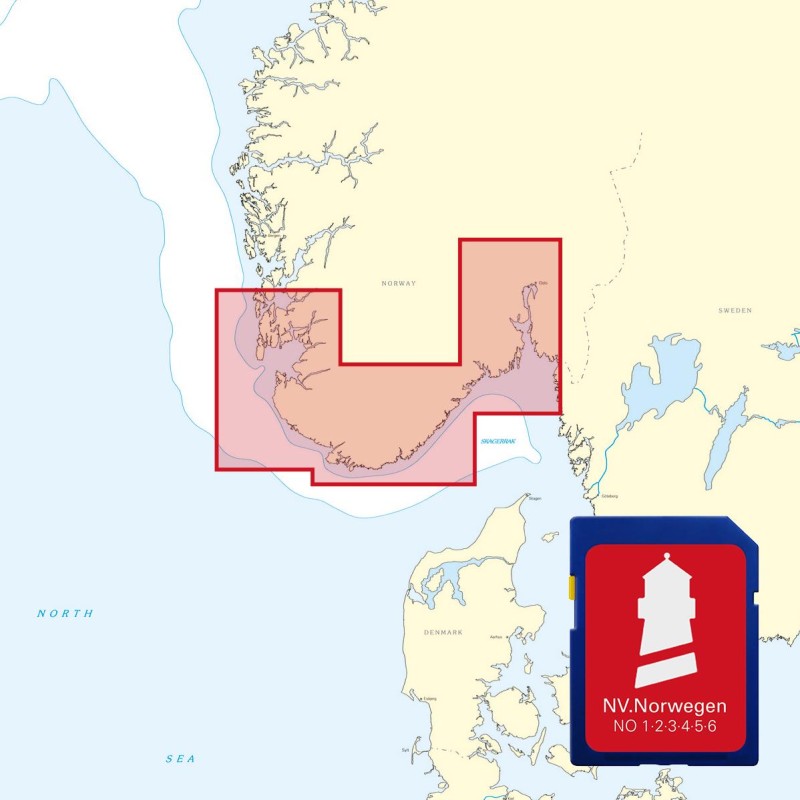
 NV Atlas Kartenkoffer Kattegat Serie 1, 2, 3, 5.1, 5.2 NV Verlag / NV Charts269,00 € incl. VAT, excl. Shipping
 -
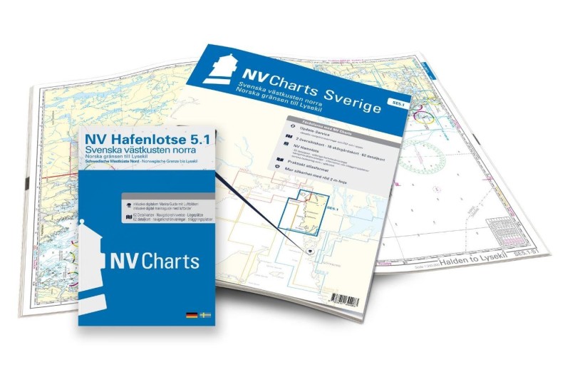 NV Charts Sverige SE 5.1 - Svenska Västkusten Norra NV Verlag / NV Charts69,90 € incl. VAT, excl. Shipping
 -
-

Places nearby

Related Regions
This location is included in the following regions of the BoatView harbour guide:
No comments or ratings have been added to this POI.