Jutholmen
Marina near Duvnäs
Latitude
58° 52’ 25.9” NLongitude
10° 59’ 26.4” EDescription
Natural harbour
NV Cruising Guide
Navigation
You can enter from different directions. As is so often the case in the archipelago, navigation with a good lookout and great caution is advised. Coming from Kostersund, one runs with deck bearing astern between Hällsholmen to the east and the small skerry Eleven (11) to the west. When you are close to Eleven and the rock on its southeast side, keep heading towards Jutholmen at 225°. Then you can sail along Jutholmen's beach to the berth. The berth can also be reached from the sea. The chart shows sufficient depth north and south of the island, but also many shallows. Here you need even with local knowledge good nerves to run in.
Berths
You moor off stern anchors on rock hooks marked on the chart in the bay or in the sound on Jutholmen's east side in 2 - 2.5 m water depth. Sometimes it can get very shallow close under land. Good protection from wind from directions between south and northwest. The anchoring ground is very variable (good to bad), and it is also difficult to deploy anchor line of sufficient length. In hard weather you should then in any case also moor the stern lines ashore.
Surroundings
Jutholmen is typical for the archipelago. It's not easy to get to the berth, but once you do, you'll find it very sheltered. From the top of the island you have a magnificent view of the Skagerrak. Dry toilet is available.
Marina Information
Contact
Comments
You can add comments with the NV Charts App (Windows - iOS - Android - Mac OSX).
You can download the current version at nvcharts.com/app.
Buy nv charts covering this place Clicking one of the products will open the nv charts shop.
-
 NV Atlas Kartenkoffer Kattegat Serie 1, 2, 3, 5.1, 5.2 NV Verlag / NV Charts269,00 € incl. VAT, excl. Shipping
 -
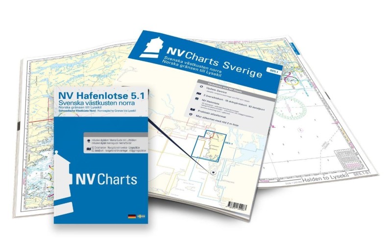 NV Charts Sverige SE 5.1 - Svenska Västkusten Norra NV Verlag / NV Charts69,90 € incl. VAT, excl. Shipping
 -
-

Places nearby

Related Regions
This location is included in the following regions of the BoatView harbour guide:
No comments or ratings have been added to this POI.