Stora Klövskär
Marina near Grebbestad
Latitude
58° 39’ 16.4” NLongitude
11° 12’ 31.2” EDescription
Natural harbour and anchorage
NV Cruising Guide
Navigation
The approach from the north is unproblematic. Once in the sound, keep closer to Stora Klövskär than to Kyrkogårdholmen. Coming from the south, keep close to the small island off Klövudden (southwest tip of Otterön) to stay clear of the rocky surf 100 m out.
Berths
You lie off stern anchor at the points marked on the chart at 2 - 3.5 m water depth at Stora Klövskär or at 1.5 - 2.5 m at Otterön and Kyrkogårdsholmen. There is protection from all winds, especially from southwest to northwest and from northeast to southeast. The sandy and silty bottom is well suited for anchoring in water depths of 9 - 15 m. Usually a light current sets northward of less than 1 knot and rarely more.
Surroundings
Stora Klövskär is very popular thanks to the good harbour and always well attended. Nevertheless, there is usually still a place for another ship. The island is a bit barren, but has good bathing rocks and offers a fantastic view. Otterön is a beautiful and popular nature reserve. The landscape is characterized by bare rocks, heath land where many (protected) orchid species grow. There are interesting fossil shell beds.
Marina Information
Contact
Comments
You can add comments with the NV Charts App (Windows - iOS - Android - Mac OSX).
You can download the current version at nvcharts.com/app.
Buy nv charts covering this place Clicking one of the products will open the nv charts shop.
-
 NV Atlas Kartenkoffer Kattegat Serie 1, 2, 3, 5.1, 5.2 NV Verlag / NV Charts269,00 € incl. VAT, excl. Shipping
 -
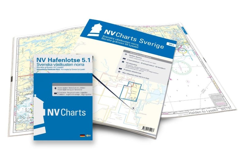 NV Charts Sverige SE 5.1 - Svenska Västkusten Norra NV Verlag / NV Charts69,90 € incl. VAT, excl. Shipping
 -
-

Places nearby

Related Regions
This location is included in the following regions of the BoatView harbour guide:
No comments or ratings have been added to this POI.