Latitude
58° 34’ 59.4” NLongitude
11° 3’ 55” EDescription
Natural harbour
NV Cruising Guide
Navigation
You can approach from the north as well as from the south without any complications. The bottom is deep and clear on the inner side of the western island. There are a few small shoals on the Storö side of the sound. The speed is limited in the entire area to 5 knots.
Berths
Throughout the Sound, you can lie off stern anchors or alongside moorings and two jetties or on marked rock hooks. Water depths range from nearly 4 m at the northern jetties to depths of less than 0.5 m in the bays. Weather protection depends on which spot you choose. In the very narrow bay between Stora- and Lilla Hejen you will find very good shelter except in easterly winds, but then still with acceptable protection from swell. At the jetties you are protected from winds between southwest and northwest. However, there is a small drawback that could be a problem for smaller boats: The jetties are built for fishing vessels to quickly and easily find shelter from bad weather. Even today the jetties are used by fishing boats and the pleasure craft should then give way. So: Better use the rock hooks (see map). The anchoring ground is acceptable, but because of the narrowness of the sound it can be problematic with the length of the anchor line. Current sets in the sound mostly to the north at a speed of less than 1 knot. However, it is advisable to deploy an additional line, as the current can sometimes be stronger.
Surroundings
An amazingly well protected and inviting harbour quite close to
the open sea. Plus beautiful rocks, sandy beaches and a rich bird
life. No wonder Strömsund is so popular. In the summertime you are
therefore rarely alone here. But there is always a place for
everyone. Please note that most of the islands around are part
of the bird sanctuary and access is restricted most of the year and your are then not allowed to come within 50 metres of its coastline. Dry
toilet available.
In the southern part of Storö, there is a fantastic restaurant, café, and hotel, and there are many well marked paths inviting walks around the island.
Marina Information
Contact
Surroundings
Toilet
Restaurant
Comments
You can add comments with the NV Charts App (Windows - iOS - Android - Mac OSX).
You can download the current version at nvcharts.com/app.
Buy nv charts covering this place Clicking one of the products will open the nv charts shop.
-
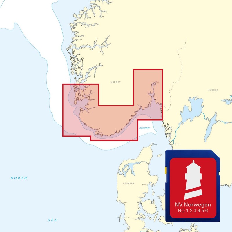
 NV Atlas Kartenkoffer Kattegat Serie 1, 2, 3, 5.1, 5.2 NV Verlag / NV Charts269,00 € incl. VAT, excl. Shipping
 -
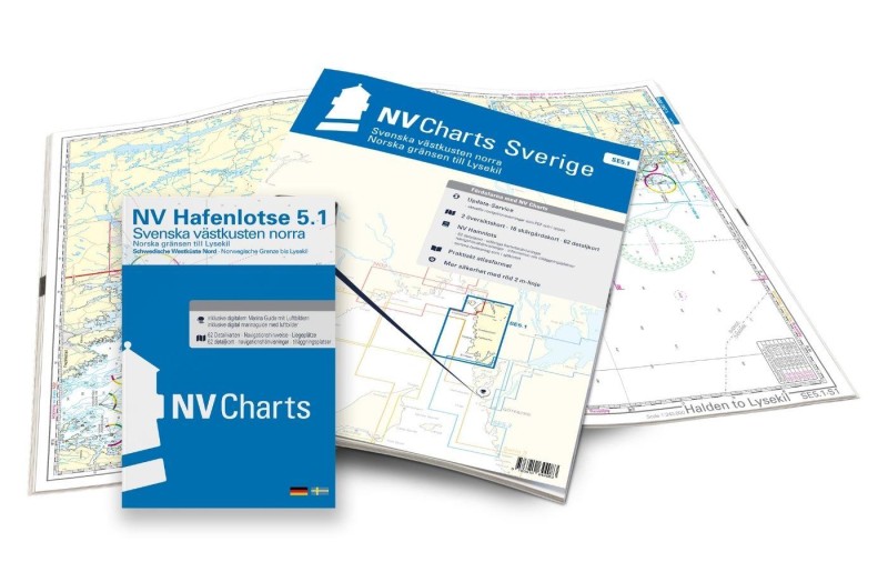 NV Charts Sverige SE 5.1 - Svenska Västkusten Norra NV Verlag / NV Charts69,90 € incl. VAT, excl. Shipping
 -
-

Places nearby

Related Regions
This location is included in the following regions of the BoatView harbour guide:
No comments or ratings have been added to this POI.