Bovallstrand
Marina near Bovallstrand
Latitude
58° 28’ 36.9” NLongitude
11° 19’ 4.1” EDescription
Fishing and sport boat harbour with guest places.
NV Cruising Guide
Navigation
The approach to the harbour is unlit and therefore it is not recommended for those unfamiliar with the area to enter in the dark. During the day, the approach is uncomplicated and free of shallows.
Berths
You can moor on the west side of the quay or on the outside of the floating bridge in front of stern anchor in 2 - 6 m water depth. There is good protection from wind from almost all directions, except between northwest and northeast. In this case, one lies here very unprotected. The clayey bottom of the Bottnefjord also provides safe anchorage.
Surroundings
Bovallstrand lived from sailing, fishing and stone quarrying. Now there is only a small amount of fishing here. Meanwhile, crafts and tourism have established themselves here to some extent. Summer visitors bring a lot of life to the town during the holiday season.
Marina Information
| Max Depth | 4 m |
Contact
| Phone | +46 76 697 61 11 |
| Please enable Javascript to read | |
| Website | https://www.sotenas.se |
Surroundings
Electricity
Water
Toilet
Shower
Restaurant
Crane
Atm
Internet
Fuel
Grocery
Ramp
Public Transport
Garbage
Comments
You can add comments with the NV Charts App (Windows - iOS - Android - Mac OSX).
You can download the current version at nvcharts.com/app.
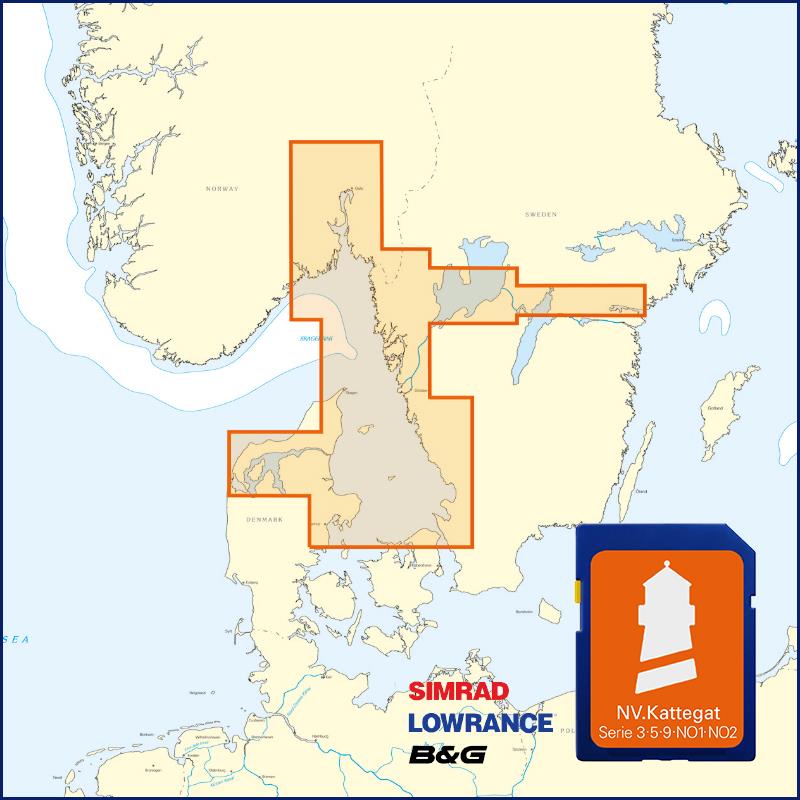
Buy nv charts covering this place Clicking one of the products will open the nv charts shop.
Places nearby
Related Regions
This location is included in the following regions of the BoatView harbour guide:


No comments or ratings have been added to this POI.