Trinisla
Marina near Hamburgsund
Latitude
58° 33’ 51.2” NLongitude
11° 13’ 34.3” EDescription
Natural harbor
NV Cruising Guide
Navigation
The entrance is unproblematic.
Berths
You are moored in the west of the southern bay in front of the stern anchor at a water depth of 2.5 - 3.8 m. Further moorings on the east side of the island at a water depth of 1.2 - 2.2 m. All moorings offer protection, except when the wind blows from south to east.
Surroundings
The island is popular due to its good protection and easy approach. The east side is family-friendly due to the sandy beach. Dry toilets can be found in the south of the island.
Marina Information
Contact
Comments
You can add comments with the NV Charts App (Windows - iOS - Android - Mac OSX).
You can download the current version at nvcharts.com/app.
Buy nv charts covering this place Clicking one of the products will open the nv charts shop.
-
 NV Atlas Kartenkoffer Kattegat Serie 1, 2, 3, 5.1, 5.2 NV Verlag / NV Charts269,00 € incl. VAT, excl. Shipping
 -
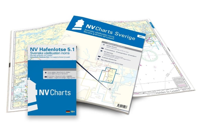 NV Charts Sverige SE 5.1 - Svenska Västkusten Norra NV Verlag / NV Charts69,90 € incl. VAT, excl. Shipping
 -
-

Places nearby

Related Regions
This location is included in the following regions of the BoatView harbour guide:
No comments or ratings have been added to this POI.