Borsfleth Störloch
Marina near Borsfleth
Latitude
53° 49’ 48.7” NLongitude
9° 24’ 29.5” EDescription
The SSV Borsfleth runs the harbor. It is very popular with Lower Elbe sailors as a weekend destination.
NV Cruising Guide
Navigation
The approach is via the buoyed, only partially illuminated Stör navigation channel. The Stör barrage is closed when the water level is 1 m above sea level. The barrage bridge opens when required (VHF channel 09 or phone +49 4124 97026 ) From 7 Bft. the bridge is no longer open.
Berths
The elongated floating jetty in the south is intended as a guest jetty. The water depth is approx. 2 m in spring at MNW, but silts up in places towards fall. Depending on siltation, draught and wind direction, entry and exit is not always possible in the NW. The current recommendation for the waiting time before or after low water is best obtained from the harbour master.
Marina Information
| Max Depth | 2 m |
Contact
| Phone | +49 157 32563066 |
| Please enable Javascript to read | |
| Website | https://www.ssv-borsfleth.de |
Surroundings
Electricity
Water
Toilet
Shower
Restaurant
Bikerental
Garbage
Comments
You can add comments with the NV Charts App (Windows - iOS - Android - Mac OSX).
You can download the current version at nvcharts.com/app.
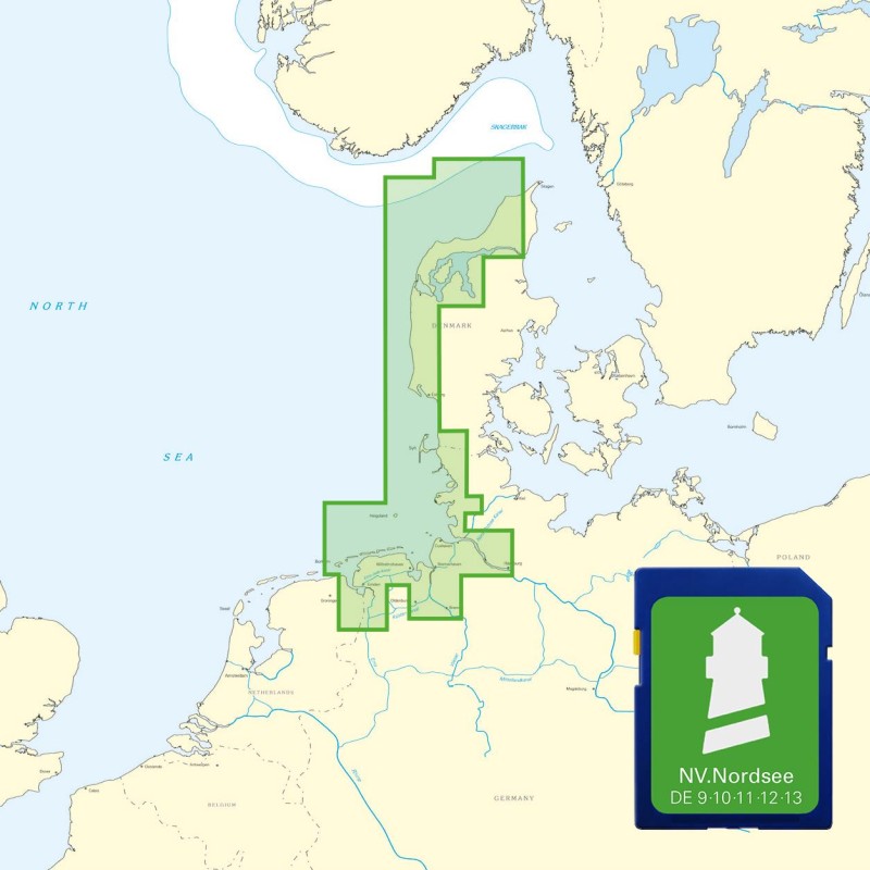
Buy nv charts covering this place Clicking one of the products will open the nv charts shop.
Places nearby
Related Regions
This location is included in the following regions of the BoatView harbour guide:


