BELTREP
Navinfo
Latitude
55° 50’ 9.2” NLongitude
10° 47’ 43.4” EInformation
Ship reporting system BELTREP: There is a reporting obligation with ship name, call sign and position in case of "Belt Traffic" on VHF channel 74 for all vehicles >50t, >15m LüA or mast height >15m when navigating the Samsö Belt in the area of the VTG "Hatter Barn" and the deep water route DW. Channel 16 shall be monitored continuously.
Comments
You can add comments with the NV Charts App (Windows - iOS - Android - Mac OSX).
You can download the current version at nvcharts.com/app.
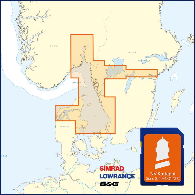
Buy nv charts covering this place Clicking one of the products will open the nv charts shop.
Places nearby
Related Regions
This location is included in the following regions of the BoatView harbour guide:


No comments or ratings have been added to this POI.