Hinweis Anschlusskarten SE
Navinfo
Latitude
58° 43’ 3.4” NLongitude
9° 33’ 21.6” EInformation
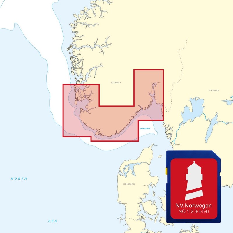
For navigation in Norwegian coastal waters detailed maps must be used. We recommend the series NV.Atlas NO1, NO2 und NO3.
Comments
You can add comments with the NV Charts App (Windows - iOS - Android - Mac OSX).
You can download the current version at nvcharts.com/app.
Buy nv charts covering this place Clicking one of the products will open the nv charts shop.
-
 NV Charts Norway NO2 - Oslofjord Sør, Svenska Grensen til Kragerø NV Verlag / NV Charts74,99 € incl. VAT, excl. Shipping
 -
-

Places nearby
Related Regions
This location is included in the following regions of the BoatView harbour guide:
No comments or ratings have been added to this POI.