Port de Saint Suliac
Marina near Saint Suliac
Latitude
48° 34’ 12.2” NLongitude
1° 1’ 23.3” WDescription
Saint Suliac is a village on the Rance River which has its estuary at Saint-Malo. It is listed as one of the most beautiful villages in France.
NV Cruising Guide
Navigation
The access is through the Rance river, on which you can enter Saint-Malo. There can be strong winds from the South-East is North-West.
Berths
There are 105 seats, some of which are reserved for visitors.
Surroundings
There is a telephone at your disposal.
Marina Information
| Max Depth | 1.5 m |
Contact
| Phone | +33 684095497 |
| Website | http://www.saint-suliac.fr/le-port-C76.html |
Surroundings
Electricity
Water
Toilet
Shower
Garbage
Comments
You can add comments with the NV Charts App (Windows - iOS - Android - Mac OSX).
You can download the current version at nvcharts.com/app.
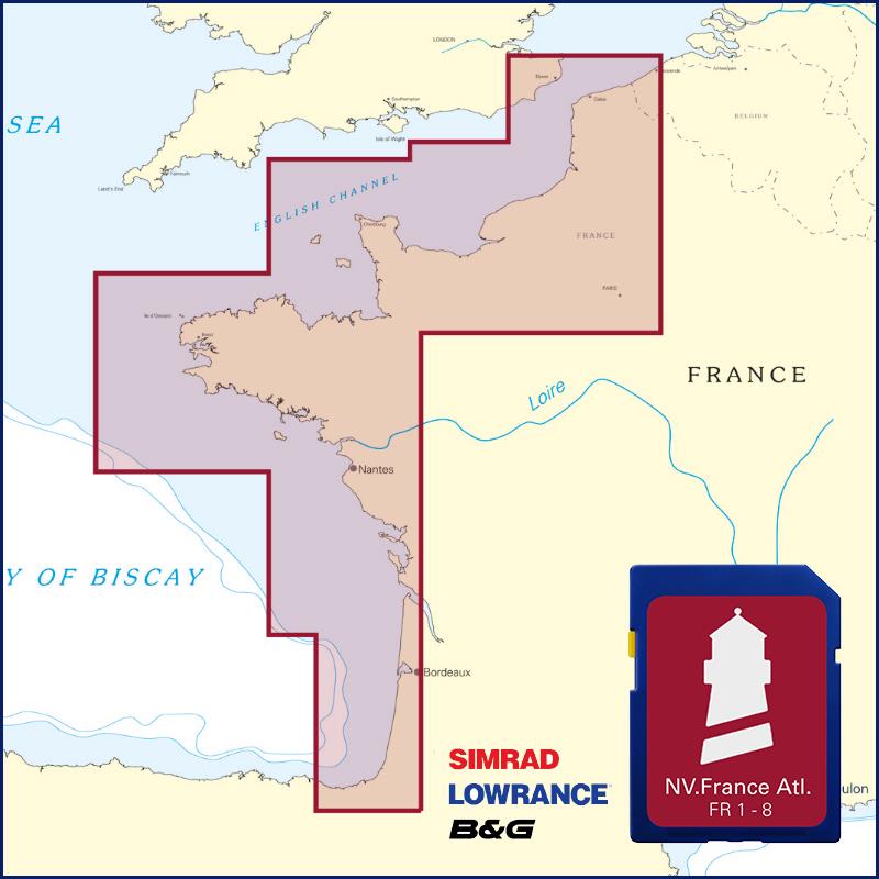
Buy nv charts covering this place Clicking one of the products will open the nv charts shop.
-
 NV Charts Pilot 2 North Sea - Falmouth to Kristiansand - Inverness NV Verlag / NV Charts24,99 € incl. VAT, excl. Shipping
 -
 NV Charts Pilot 5 North Atlantic Ocean - Gibraltar to Caribbean, Atlantic Islands NV Verlag / NV Charts24,99 € incl. VAT, excl. Shipping
 -
 NV Charts France FR3 - St. Malo aux Sept Isles NV Verlag / NV Charts64,99 € incl. VAT, excl. Shipping
 -
-

Places nearby

Related Regions
This location is included in the following regions of the BoatView harbour guide:
No comments or ratings have been added to this POI.