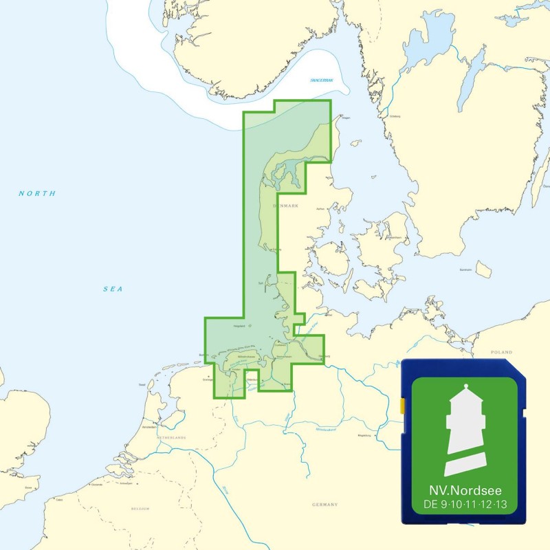
Ruthenstrom
Marina near Kollmar
Latitude
53° 43’ 26.4” NLongitude
9° 24’ 59.8” EDescription
Jetty of the Drochtersen Water Sports Association (WSDE) in the dyke foreland of the Ruthenstrom
NV Cruising Guide
Navigation
Between the green fairway buoys 85 and 85a, you head for the entrance to the Ruthenstrom at 196.9° to the leading light beacons. The water depth in the entrance is only 1m in places.
Berths
Sailors with a draught of up to 2m can moor at the upstream berths. However, some places in the tide-dependent harbor also fall dry.
Surroundings
Hospitable, very quiet berth
Marina Information
| Max Depth | 1.8 m |
Contact
| Phone | +49 151 18760181 |
| Website | http://wsde.de |
Surroundings
Electricity
Water
Toilet
Shower
Bikerental
Garbage
Comments
Albrecht Rösler, SKORPIO DUE
09.06.2023 20:53
Angela, Viva la vita
Sehr idyllisch und ruhig gelegen. Ein Ausflug mit dem Fahrrad oder zu Fuss ins Strandbistro Krautsand hat uns sehr gefallen. Achtung: zumindest in der Woche ist wird das Tor zum Schlengel abgeschlossen. Unbedingt informieren, wie man wieder hineinkommt, sonst steht man wie wir hilflos vor verschlossenem Tor
16.07.2022 15:51
You can add comments with the NV Charts App (Windows - iOS - Android - Mac OSX).
You can download the current version at nvcharts.com/app.
Buy nv charts covering this place Clicking one of the products will open the nv charts shop.
Places nearby
Related Regions
This location is included in the following regions of the BoatView harbour guide:


