Durchfahrten zum Elbe-Lübeck-Kanal
Navinfo near Lübeck
Latitude
53° 52’ 24.6” NLongitude
10° 40’ 48.6” EInformation
Passages to the Elbe-Lübeck-Canal:
Attention: All clearance heights and water depths refer to the mean water level (at level 500 cm).
Route Wallhafen and Stadtgraben:
H=4.1m water depth by 2.5m at average water level (diving depth 2m). No waiting time. Perm. speed 6 km/h.
Route Hansa-, Holstenhafen, Stadttrave:
H=2.9m, maintained depth = 2m, restricted by the swing bridge Engelsgrube, which only opens after advance notification (unopened H=2.5m) max. speed 6 km/h.
Route via Klughafen and Kanaltrave:
H=5,5m, water depth 3m. Possible waiting time at the lifting bridges Burgtor. max speed 10 km/h.
Note: Behind the Marienbrücke, the Holstenbrücke or the lifting bridges at the Burgtor, the Inland Waterways Regulations (BinSchStrO) applies.
Comments
You can add comments with the NV Charts App (Windows - iOS - Android - Mac OSX).
You can download the current version at nvcharts.com/app.
Buy nv charts covering this place Clicking one of the products will open the nv charts shop.
-
 NV Charts Kartenkoffer Ostsee Serie 1, 2, 3, 4 NV Verlag / NV Charts249,00 € incl. VAT, excl. Shipping
 -
 NV Atlas Kartenkoffer Kattegat Serie 1, 2, 3, 5.1, 5.2 NV Verlag / NV Charts269,00 € incl. VAT, excl. Shipping
 -
 NV Charts Baltic Plano Kartenkoffer Ostsee Serie 1, 2, 3, 4 NV Verlag / NV Charts249,00 € incl. VAT, excl. Shipping
 -
 NV Charts Baltic Serie 2 Lübecker Bucht - Bornholm - Kopenhagen NV Verlag / NV Charts94,99 € incl. VAT, excl. Shipping
 -
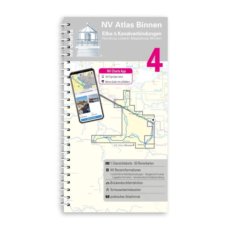 NV Binnen 4 Kombipack Elbe & Kanalverbindungen NV Verlag / NV Charts44,99 € incl. VAT, excl. Shipping
 -
 NV Charts Baltic Serie 2 Plano Lübecker Bucht - Bornholm - Kopenhagen NV Verlag / NV Charts94,99 € incl. VAT, excl. Shipping
 -
-


Places nearby

Related Regions
This location is included in the following regions of the BoatView harbour guide:
No comments or ratings have been added to this POI.