Randers Fjord
Navinfo near Randers
Latitude
56° 28’ 43” NLongitude
10° 12’ 42.1” EInformation
Randers Fjord - Fairway information
Boyage direction entering green to Stb.
Boyage direction entering red an Port.
Light characteristics of lighhouses 1 - 43: Fl.G.3s
Light characteristics of lighhouses 4 - 40: Fl.R.3s
minimum depth in fairway 7m
Comments
You can add comments with the NV Charts App (Windows - iOS - Android - Mac OSX).
You can download the current version at nvcharts.com/app.
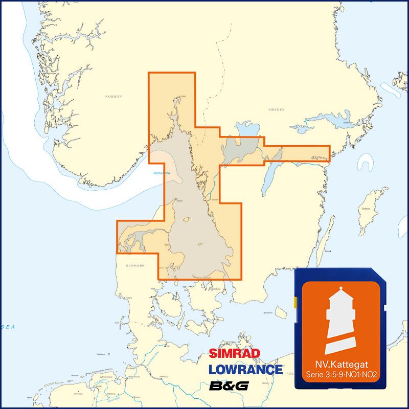
Buy nv charts covering this place Clicking one of the products will open the nv charts shop.
Places nearby
Related Regions
This location is included in the following regions of the BoatView harbour guide:


No comments or ratings have been added to this POI.