Port de Saint-Valery-sur-Somme
Marina near Saint-Valery-sur-Somme
Latitude
50° 10’ 56.8” NLongitude
1° 38’ 40.3” EDescription
Saint-Valery-sur-Somme is a small town between Calais and Dieppe. It is located in the south of the Bay of the Somme.
NV Cruising Guide
Navigation
For the approach, follow the landing buoy "Baie de Somme", the channel is well marked. You can enter the channel three hours before until two hours before full tide, depending on the size of your coefficient.
Berths
There are 220 pontoon berths, 30 of which are reserved for visitors. You can access it two hours before until two hours after full tide. The reception is in front of the harbour master's office.
Surroundings
You can find ice at the harbourmaster's office. In addition, there is a laundry and a defibrillator.
Marina Information
| Max Depth | 2.3 m |
Contact
| Phone | +33 322608216 |
| Please enable Javascript to read | |
| Website | http://www.portsaintvalery.fr |
| VHF Channel | 9 |
Surroundings
Electricity
Water
Toilet
Shower
Restaurant
Crane
Internet
Fuel
Garbage
Comments
You can add comments with the NV Charts App (Windows - iOS - Android - Mac OSX).
You can download the current version at nvcharts.com/app.
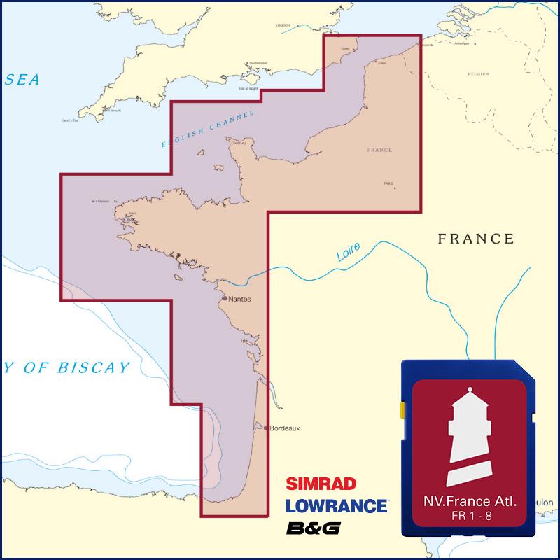
Buy nv charts covering this place Clicking one of the products will open the nv charts shop.
Places nearby
Related Regions
This location is included in the following regions of the BoatView harbour guide:


No comments or ratings have been added to this POI.