Spree-Oder-Wasserstrasse Befahrensregelung / Regulations
Navinfo
Latitude
52° 31’ 10.2” NLongitude
13° 22’ 54.2” EInformation
Between km 14.1 (Kanzleramtssteg) and km 20.7 (Oberbaumbrücke) of the Spree-Oder-Waterway there is a driving ban for vehicles with less than 5hp (3.69kW) or muscle-driven vehicles.
In addition, driving licences are compulsory here - also for vehicles with less than 15 hp.
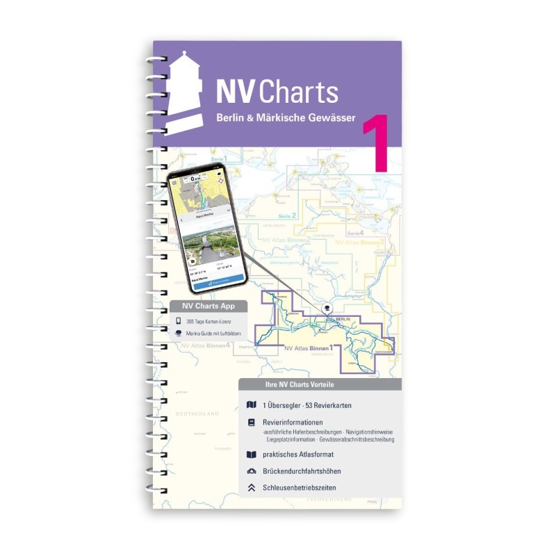
Affected NV Charts:NV Binnen 1 SOW2, S.42
Dated: 12.07.2017
Comments
Diethelm Oertwig, Dulcibella
von 19,00 Uhr bis 11,30 ohne Funkgerät erlaubt.
01.06.2022 17:56
You can add comments with the NV Charts App (Windows - iOS - Android - Mac OSX).
You can download the current version at nvcharts.com/app.


