Neue Tonnenlage Havelkanal ind Havel Oder Wasserstrasse
Navinfo near Hennigsdorf
Latitude
52° 36’ 59.7” NLongitude
13° 12’ 33.4” EInformation
Due to a shallow water point at the confluence of the Havel Canal
with the Havel-Oder Waterway at km 10.4, a fairway division has
been designated. The new buoy position must be observed.
The designated turning point is omitted (turning ban).
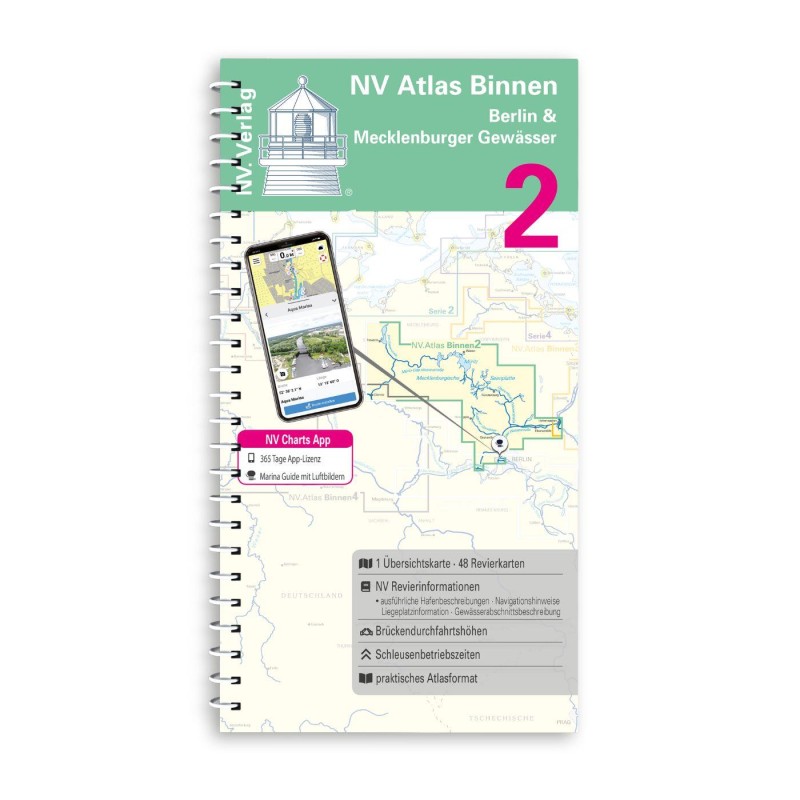
Affected NV maps:NV Binnen 2 HOW1, p.12
Status: 25.07.2017
Comments
You can add comments with the NV Charts App (Windows - iOS - Android - Mac OSX).
You can download the current version at nvcharts.com/app.
Buy nv charts covering this place Clicking one of the products will open the nv charts shop.
-
 NV Binnen 2 Kombipack Berlin & Mecklenburgische Gewässer NV Verlag / NV Charts44,99 € incl. VAT, excl. Shipping
 -


No comments or ratings have been added to this POI.