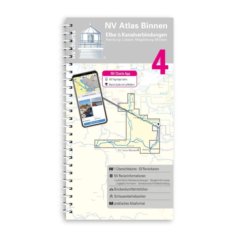
Niegripper Verbindungskanal und Elbe-Havel-Kanal
Navinfo near Magdeburg (Industriehafen)
Latitude
52° 9’ 53” NLongitude
11° 40’ 49.5” EInformation
The WT of the fairway is 2.3 - 2.6m at MW, the fairway depth
predictions for route 5 u. 6 apply (limit see map). The DH of the
Elbe are given in metres at HSW.
Niegripper Verbindungskanal and Elbe-Havel-Kanal: WT is around 3m
at MW. The TT is 2-2.5m depending on water level. The DH is at MW
over 4.3m, zHG 9 km/h.
Rothenseer Verbindungskanal:
The connection between the Elbe and the Mittellandkanal. The min WT
at MW is 4.0m, the unloading depth is 2.8m. The DH at HSW is 5,8m.
The speed is 9 km/h. With the completion and opening to traffic of
the Magdeburg low water lock in December 2013, the water level will
now be 4m independent of the Elbe water level. The Rothensee ship
lift (L 82m W 12m / lift 11-18m / trough-T 2.5m / DH 4.2m) has been
decommissioned and is a technical cultural monument.
Comments
You can add comments with the NV Charts App (Windows - iOS - Android - Mac OSX).
You can download the current version at nvcharts.com/app.


No comments or ratings have been added to this POI.