Elbe
Navinfo near Parchau
Latitude
52° 20’ 44.4” NLongitude
11° 52’ 48.4” EInformation
The WT of the fairway is 2.2m at MW, the fairway depth predictions
for stretch 7 apply.
The DH of the Elbe are given in metres at HSW.
Zust. im ges. Abschitt: WSP Havelberg Tel. 039387-72-200
The shorelines shown refer to the mean water level. At high water,
these can extend considerably inland, as can the position of the
buoyage at high water deviate from the position shown.
Between Elbe km 325 and 367, the reception of the Nautical
Information Radio (NIF) may be poor due to land cover. You should
possibly check whether you can receive the Rothensee transmitter on
VHF channel 79 or Tangermünde on VHF channel 81 better locally.
Comments
You can add comments with the NV Charts App (Windows - iOS - Android - Mac OSX).
You can download the current version at nvcharts.com/app.
Buy nv charts covering this place Clicking one of the products will open the nv charts shop.
-
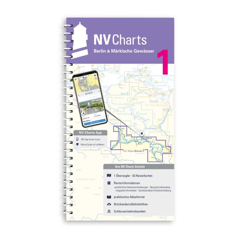 NV Binnen 1 Kombipack Berlin & Märkische Gewässer NV Verlag / NV Charts44,99 € incl. VAT, excl. Shipping
 -
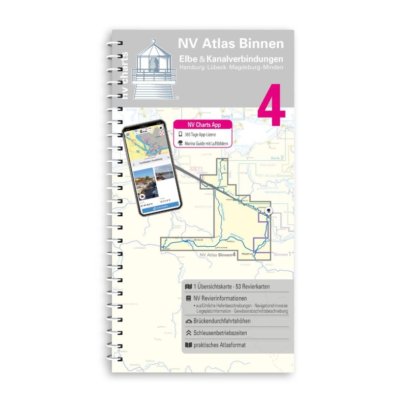 NV Binnen 4 Kombipack Elbe & Kanalverbindungen NV Verlag / NV Charts44,99 € incl. VAT, excl. Shipping
 -


No comments or ratings have been added to this POI.