Port de plaisance de Ouistreham
Marina near Ouistreham
Latitude
49° 16’ 25.2” NLongitude
0° 45’ 7.2” WDescription
Ouistreham is located on the estuary of the River Orne, which connects the town with that of Caen. Ouistreham is known as a seaside resort.
NV Cruising Guide
Navigation
The port is on the Orne bank entrance to the estuary. The Ouistreham lighthouse at the entrance to the river can be used as a landmark. Light signs are placed on the buildings for orientation.
Berths
There are 650 berths, of which 70 are reserved for visitors. If one wishes to stay longer, it is important to request a berth at the port office.
Surroundings
There is a laundry and a parking lot. You're also going to find restaurants and bars close to the pool.
Marina Information
| Max Depth | 3.3 m |
Contact
| Phone | +33 231969137 |
| Please enable Javascript to read | |
| Website | https://www.ouistreham-plaisance.com/index.php |
| VHF Channel | 9 |
Surroundings
Electricity
Water
Toilet
Shower
Restaurant
Internet
Fuel
Travellift
Bikerental
Garbage
Sewage
Comments
You can add comments with the NV Charts App (Windows - iOS - Android - Mac OSX).
You can download the current version at nvcharts.com/app.
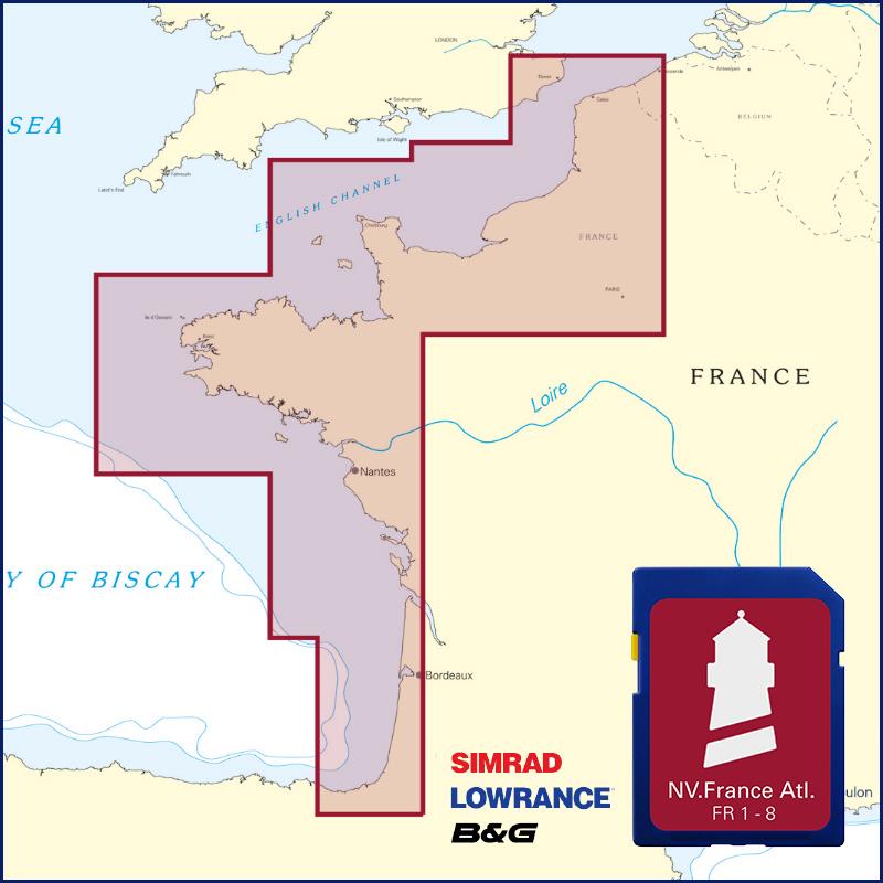
Buy nv charts covering this place Clicking one of the products will open the nv charts shop.
-
 NV Charts Pilot 2 North Sea - Falmouth to Kristiansand - Inverness NV Verlag / NV Charts24,99 € incl. VAT, excl. Shipping
 -
-

Places nearby

Related Regions
This location is included in the following regions of the BoatView harbour guide:
No comments or ratings have been added to this POI.