Gierseilfähre
Navinfo near Sandau (Elbe)
Latitude
52° 47’ 9.4” NLongitude
12° 2’ 3.3” EInformation
Attention yaw rope ferry (permanent mooring on the right bank). At higher water levels the ferry is free-running. To the right (east) of the yaw rope is a shoal.
Comments
You can add comments with the NV Charts App (Windows - iOS - Android - Mac OSX).
You can download the current version at nvcharts.com/app.
Buy nv charts covering this place Clicking one of the products will open the nv charts shop.
-
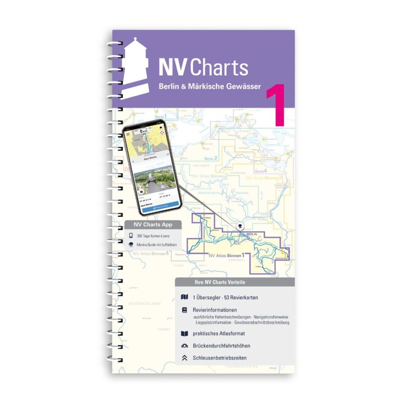 NV Binnen 1 Kombipack Berlin & Märkische Gewässer NV Verlag / NV Charts44,99 € incl. VAT, excl. Shipping
 -
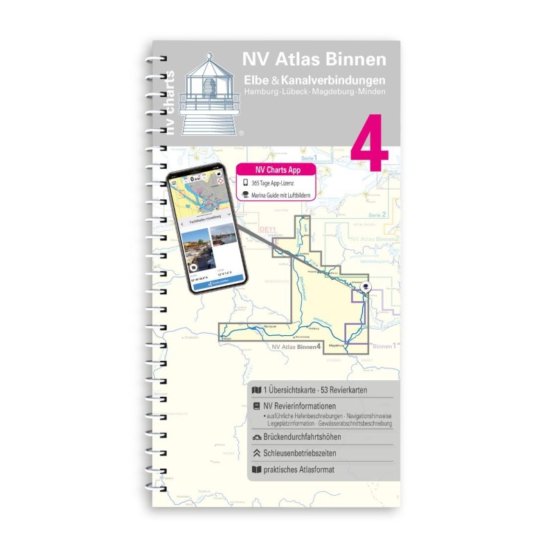 NV Binnen 4 Kombipack Elbe & Kanalverbindungen NV Verlag / NV Charts44,99 € incl. VAT, excl. Shipping
 -


No comments or ratings have been added to this POI.