Port de Morlaix
Marina near Morlaix
Latitude
48° 35’ 5.8” NLongitude
3° 9’ 52.7” WDescription
Morlaix is a river town located on the Morlaix River. It is known for its historic architecture.
NV Cruising Guide
Navigation
The approach is via the estuary and the river of Morlaix. The Lighthouse of the Black Island can be used as a landmark . The sheltered harbour is located in the town centre.
Berths
There are approximately 200 berths on pontoon and quay, of which 10 are reserved for visitors. Access is possible from 1h30 before until 1h30 after the Full Tide.
Surroundings
A laundromat is in the town centre. You will find many restaurants south of the harbour in the centre of Morlaix.
Marina Information
| Max Depth | 1.5 m |
| Berth Width | 15.5 m |
| Berth Length | 11 m |
Contact
| Phone | +33 298621314 |
| Please enable Javascript to read | |
| Website | http://www.plaisancebaiedemorlaix.com/en |
| VHF Channel | 9 |
Surroundings
Electricity
Water
Toilet
Shower
Crane
Internet
Fuel
Garbage
Comments
You can add comments with the NV Charts App (Windows - iOS - Android - Mac OSX).
You can download the current version at nvcharts.com/app.
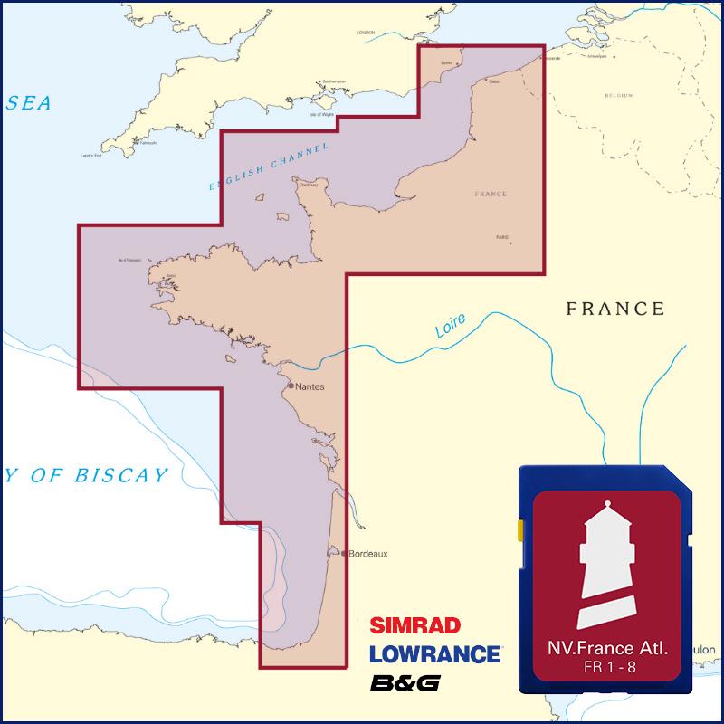
Buy nv charts covering this place Clicking one of the products will open the nv charts shop.
-
 NV Charts Pilot 2 North Sea - Falmouth to Kristiansand - Inverness NV Verlag / NV Charts24,99 € incl. VAT, excl. Shipping
 -
 NV Charts Pilot 5 North Atlantic Ocean - Gibraltar to Caribbean, Atlantic Islands NV Verlag / NV Charts24,99 € incl. VAT, excl. Shipping
 -
 NV Charts France FR4 - Les Sept Isles à Douarnenez NV Verlag / NV Charts64,99 € incl. VAT, excl. Shipping
 -
Places nearby

Related Regions
This location is included in the following regions of the BoatView harbour guide:
No comments or ratings have been added to this POI.