Westschleuse Hohensaaten
Navinfo near Bad Freienwalde (Oder)
Latitude
52° 52’ 32” NLongitude
14° 9’ 1.1” EInformation
L170 m / W 11.9 m / Stroke 0.9 m
(Lock between Havel-Oder-Waterway and Hohensaaten-Friedrichsthaler-Waterway)
Operating hours:
Mo-Sa from 06.00 - 21.45
Sun u. Feiertags von 07.00 - 21.45 Uhr
Schleusenbrücke: H (ü.HSW) 5.0 m / W 12 m
Both locks: VHF channel 20 or telephone 033368 / 223
Mooring for pleasure craft in the outer harbour of the Westschleuse.
Bunker station (tax-privileged only for commercial shipping).
Fueling possibility for pleasure craft in the marina Oderberg (HOW KM 87, chargeable shuttle service to the roadside gas station)
Comments
You can add comments with the NV Charts App (Windows - iOS - Android - Mac OSX).
You can download the current version at nvcharts.com/app.
Buy nv charts covering this place Clicking one of the products will open the nv charts shop.
-
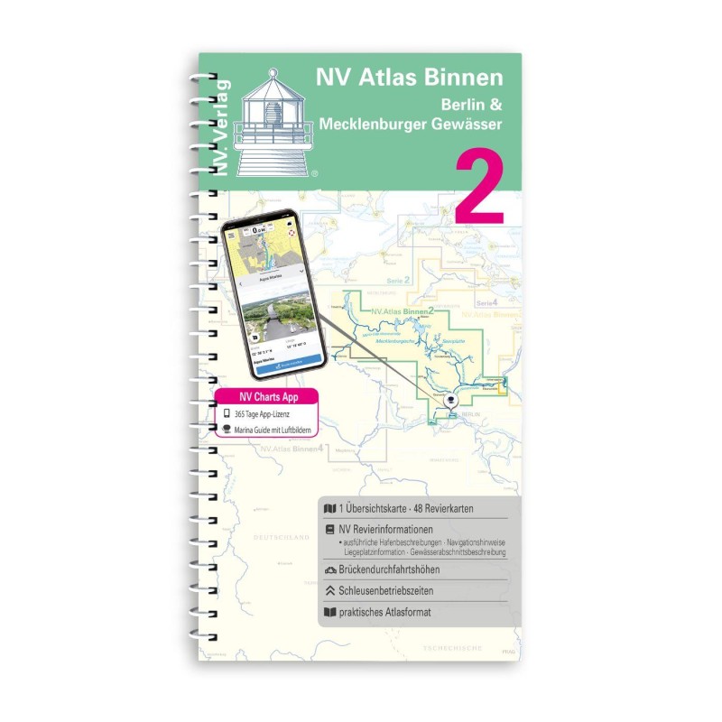 NV Binnen 2 Kombipack Berlin & Mecklenburgische Gewässer NV Verlag / NV Charts44,99 € incl. VAT, excl. Shipping
 -
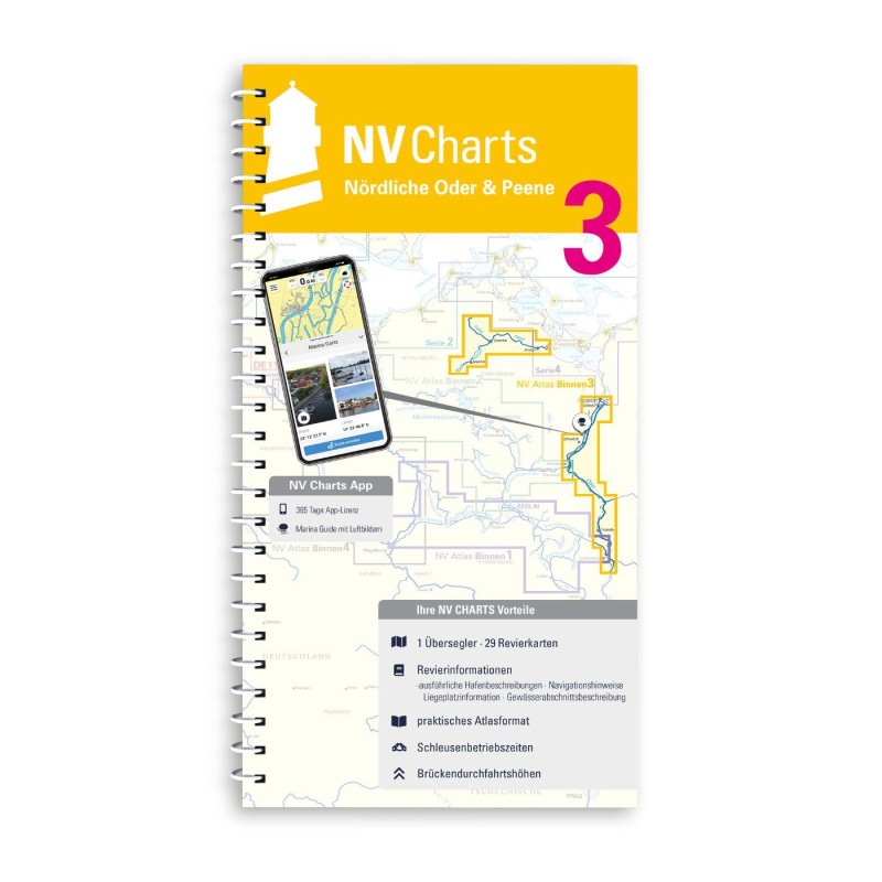 NV Binnen 3 Kombipack Nördliche Oder & Peene NV Verlag / NV Charts44,99 € incl. VAT, excl. Shipping
 -


No comments or ratings have been added to this POI.