Spree-Oder-Wasserstraße/Oder
Navinfo near Eisenhüttenstadt (Fürstenberg (Oder))
Latitude
52° 8’ 43.2” NLongitude
14° 40’ 34” EInformation
In Eisenhüttenstadt the Spree-Oder-Waterway (SOW) flows into the
Oder. The TT is 2.0 m, the lowest DH 4 m, the ZHG 10 km/h. A
designated, simple mooring for pleasure boats is located in the
entrance to the Old Descent. ca.1 km outside the map there are
further mooring possibilities above the lock in Milenz harbour at
MYC-Eisenhüttenstadt: 4t-slip, washing machine, petrol station 100m
(handcart is available).
Good shopping facilities can be found in the town area, fuel at 4
roadside petrol stations (outside the map).
When entering the Spree-Oder waterway you should sail close to the
sheet pile wall. On the opposite side of the fairway it can be very
shallow at low water.
Comments
You can add comments with the NV Charts App (Windows - iOS - Android - Mac OSX).
You can download the current version at nvcharts.com/app.
Buy nv charts covering this place Clicking one of the products will open the nv charts shop.
-
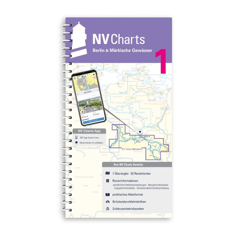 NV Binnen 1 Kombipack Berlin & Märkische Gewässer NV Verlag / NV Charts44,99 € incl. VAT, excl. Shipping
 -
-
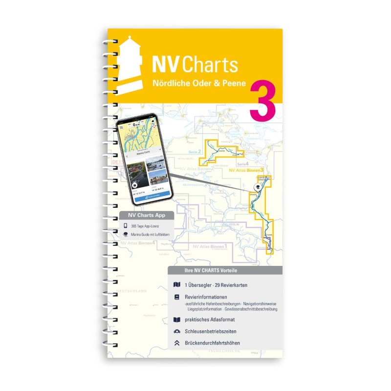 NV Binnen 3 Kombipack Nördliche Oder & Peene NV Verlag / NV Charts44,99 € incl. VAT, excl. Shipping


No comments or ratings have been added to this POI.