Baska
Marina near Baška
Latitude
44° 58’ 6.7” NLongitude
14° 45’ 20.7” EDescription
Baska is located in the south of the island of Krk on the Uvala
Bascanska Draga. The town is the largest resort on the island and
here there is actually everything you need as a boating
holidaymaker.
The basin inside the harbor is occupied with local boats, but
guests can find a place on the inside of the two piers at 3m water
depth. There is also a quite good anchorage in the south of the bay
off the beach. During bora and jugo, however, there is a strong
swell into the bay and into the harbour.
The history of the place goes back to the Illyrians and in the 2nd century BC there was a Roman settlement here. In the 14th century there was a castle on the hill above the bay. (Today there is a cemetery). In 1380 the Venetians destroyed the fortress and the village as an act of revenge against the Frankopan princes who ruled Kyrk in the Middle Ages. The Venetian rule lasted until the fall of Venice (1797). A short Austrian rule followed, from 1806 to 1813 Napoleon was in power, fegolgt by Austria until 1918.
In the 16th century the village was rebuilt on the present site. In the nearby village of Jurand, tablets with the oldest Glagolitic characters (around 1100) were excavated. The original is now in Zagreb, a copy can be seen in the church of St. Lucije.
Marina Information
| Max Depth | 3 m |
Contact
| Phone | +49 385 51 856 821 |
| VHF Channel | 17 |
Surroundings
Restaurant
Imbiss
Atm
Grocery
Travellift
Garbage
Comments
You can add comments with the NV Charts App (Windows - iOS - Android - Mac OSX).
You can download the current version at nvcharts.com/app.
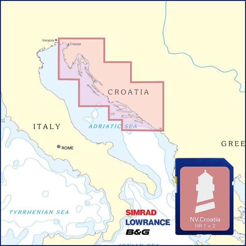
Buy nv charts covering this place Clicking one of the products will open the nv charts shop.
Places nearby
Related Regions
This location is included in the following regions of the BoatView harbour guide:


No comments or ratings have been added to this POI.