Zadar Altstadt
Sightseeing near Grad Zadar (Voštarnica)
Latitude
44° 7’ 0.4” NLongitude
15° 13’ 24.7” EDescription
Zadar was already in Illyrian times a settlement and main trading place of Liburnia. In the 2nd century BC the Romans subdued the city, built a capitol, fortifications, thermal baths and an aqueduct. The Venetian and Croatian-Hungarian periods of rule now alternated. When the Ottomans conquered the hinterland in the 16th century, the city was developed by the Venetians into a fortress, which was added to the UNESCO World Heritage List in 2017.
After World War I, Zadar fell to Italy. During World War 2, severe damage was caused to the historical sites. In 1945/47, the largely Italian-speaking population left Zadar. Since 1991, Zadar has been part of Croatia and is developing into one of the most important Adriatic seaports.
Some of the numerous sights are the churches of the old town peninsula, the palace of the priors and the archbishop's courts, the arsenal and the "five wells", which supply the city with water since the19.Jhr.
The modern work of art on steps at the northwest corner of the old town peninsula should be visited in any case. In 2007, the sea organ of architect Nikola Bašić was built and in 2008 the 22m circle of 300 glass plates, which are underneath solar cells store sunlight and create colorful light shows at sunset.
A bicycle rental is located on the west side of the bridge to the old town.
Comments
You can add comments with the NV Charts App (Windows - iOS - Android - Mac OSX).
You can download the current version at nvcharts.com/app.
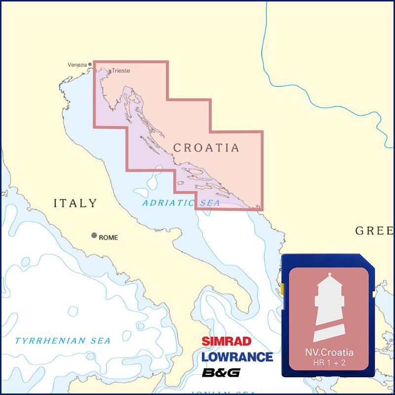
Buy nv charts covering this place Clicking one of the products will open the nv charts shop.
Places nearby
Related Regions
This location is included in the following regions of the BoatView harbour guide:


No comments or ratings have been added to this POI.